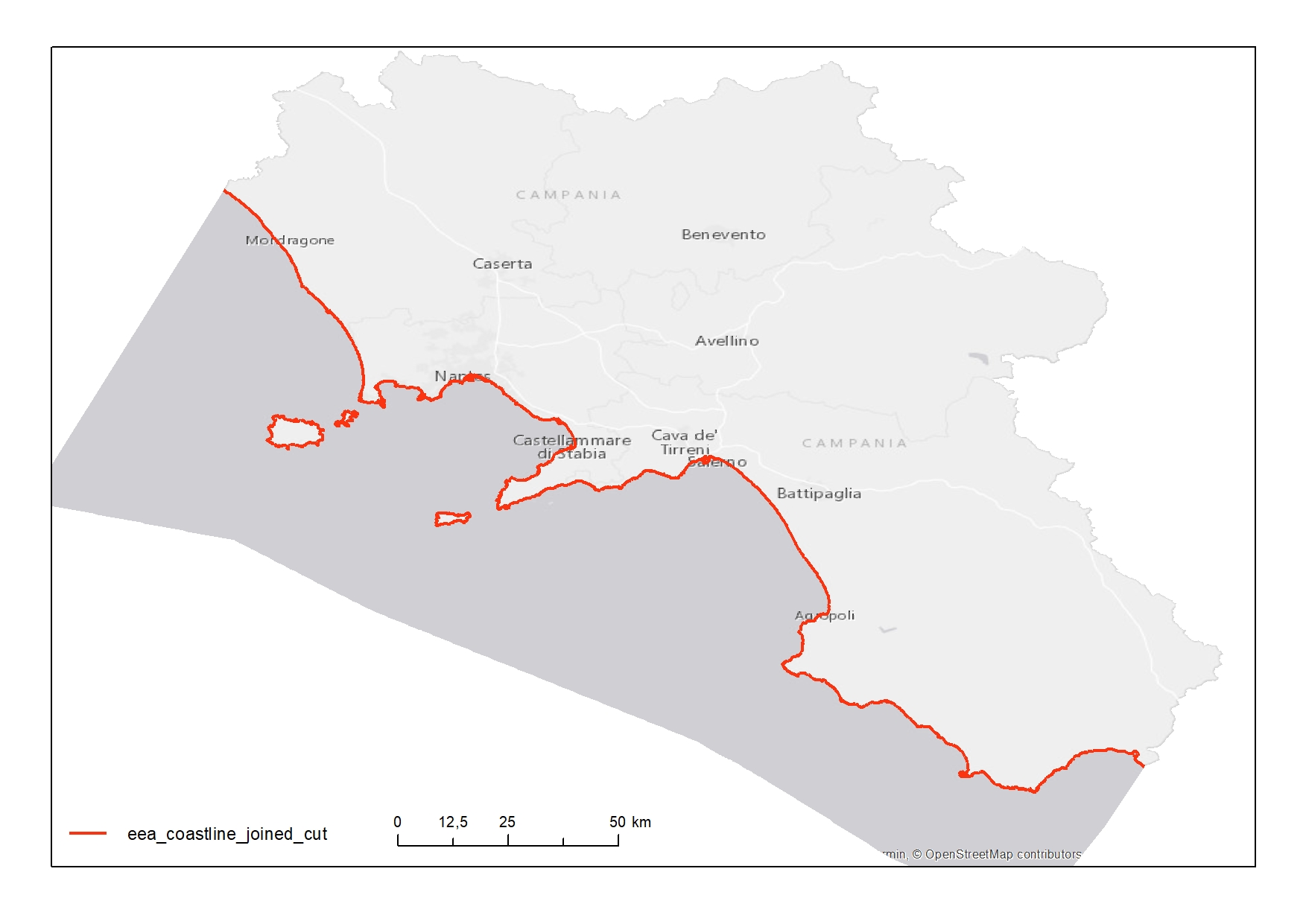
EEA - Corine land cover 2000 coastline
Complete coastline features for Campania Region with a description of the typology and status
Simple
- Date ( Creation )
- 2020-08-19
- Credit
- © EEA
- Status
- Completed
Owner
European Environment Agency (EEA)
-
The European Topic Centre on Land Use and Spatial Information
- Maintenance and update frequency
- As needed
- Keywords
-
- feamp
- campania
- geology
- coastline
- regression
- GEMET - INSPIRE themes, version 1.0 GEMET - INSPIRE themes, version 1.0 ( Theme )
-
- Geology
- Use limitation
- For non commercial use only
- Use constraints
- Other restrictions
- Other constraints
- European Environment Agency (EEA) data policy
- Access constraints
- Other restrictions
- Other constraints
- For non commercial use only. Please fill in the agreement form of EEA.
- Classification
- Unclassified
- Spatial representation type
- Vector
- Metadata language
- it
- Character set
- UTF8
- Topic category
-
- Geoscientific information
N
S
E
W
))
- Supplemental Information
- Original metadata are available at the link: https://www.eea.europa.eu/data-and-maps/data/corine-land-cover-2000-coastline
- Reference system identifier
- EPSG:4258
Spatial representation info
No information provided.
- Topology level
- Geometry only
- Geometric object type
- Curve
- Geometric object count
- 464
- Distribution format
-
-
Shapefile
(
.shp
)
-
Shapefile
(
.shp
)
- Hierarchy level
- Dataset
- Other
- Polilinee
Conformance result
- Date ( Revision )
- 2020-08-04
- Explanation
- Validated in Geonetwork according to the ISO19115 rules (26/26) and the INSPIRE rules (29/29)
- Pass
- Yes
- Statement
- Valentina Grande (CNR-ISMAR) downloaded the database "Corine land cover 2000 coastline" from the EEA repository on 19/08/2020 and she selected (ArcGIS 10.5) the features in the Campania Region according to the project needs
- File identifier
- 0f511e18-c8ed-4921-b344-6eea81e160a3 XML
- Metadata language
- en
- Character set
- UTF8
- Hierarchy level
- Dataset
- Date stamp
- 2020-08-20T09:11:56
- Metadata standard name
- ISO 19115:2003/19139
- Metadata standard version
- 1.0
Overviews


Spatial extent
N
S
E
W
))
Provided by

Associated resources
Not available
 FEAMP GeoNetwork catalogue