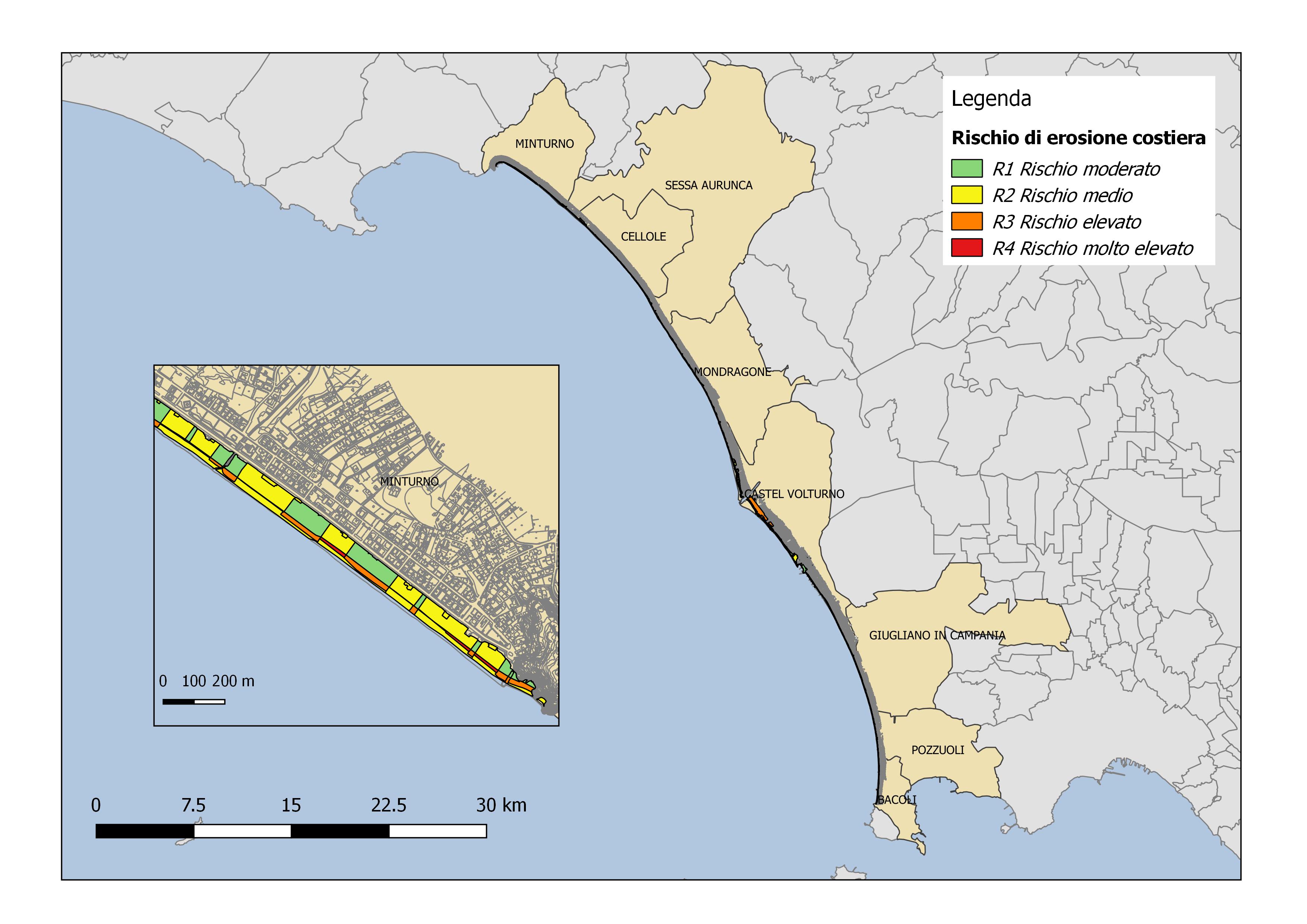
COASTAL EROSION RISK
Coastal erosion risk maps for the Campania Region derived from Piano Stralcio Erosione Costiera (PSEC), Autorità di Bacino Distrettuale dell'Appennino Meridionale
Simple
- Date ( Creation )
- 2020-07-30T10:30:00
- Identifier
- Link Geonetwork a questa scheda
- Credit
- Recognition of those who contributed to the resource(s)
- Status
- Completed
- Maintenance and update frequency
- As needed
- Keywords
-
- feamp
- campania
- Coastal erosion
- GEMET - INSPIRE themes, version 1.0 GEMET - INSPIRE themes, version 1.0 ( Theme )
-
- Natural risk zones
- Human health and safety
- Use limitation
- None
- Use constraints
- Copyright
- Other constraints
- http://www.distrettoappenninomeridionale.it/index.php/pai-menu
- Access constraints
- Other restrictions
- Other constraints
- Data policy of the project (link)
- Classification
- Unclassified
- Spatial representation type
- Vector
- Metadata language
- it
- Character set
- UTF8
- Topic category
-
- Biota
N
S
E
W
))
- Supplemental Information
- Any other descriptive information about the dataset
- Reference system identifier
- Coordinate system (e.g. WGS 1984)
- Topology level
- Geometry only
- Geometric object type
- Surface
Spatial representation info
No information provided.
- Distribution format
-
-
Shapefiles
(
.shp
)
-
Shapefiles
(
.shp
)
- Hierarchy level
- Dataset
- Dataset
- Polygons
Conformance result
- Date ( Publication )
- 2020-08-04
- Explanation
- Validated in Geonetwork according to the ISO19115 rules (25/25) and the INSPIRE rules (30/30)
- Pass
- Yes
- Statement
- Caterina Lanfredi (UNICAMPANIA) downloaded the available polygons from the Autorità di Bacino Distrettuale dell'Appennino Meridionale or developed new polygons (QGIS 2.18.16) from the cartography available from the Autorità di Bacino of the different districts (Liri Garigliano Volturno; Campania Centrale, Campania Sud) and modified the layers according to the project needs.
- File identifier
- 1690536b-be4d-4f7a-89f1-42ab523c16f9 XML
- Metadata language
- en
- Character set
- UTF8
- Hierarchy level
- Dataset
- Date stamp
- 2023-10-04T14:30:49
- Metadata standard name
- ISO 19115:2003/19139
- Metadata standard version
- 1.0
Overviews

Spatial extent
N
S
E
W
))
Provided by

Associated resources
Not available
 FEAMP GeoNetwork catalogue