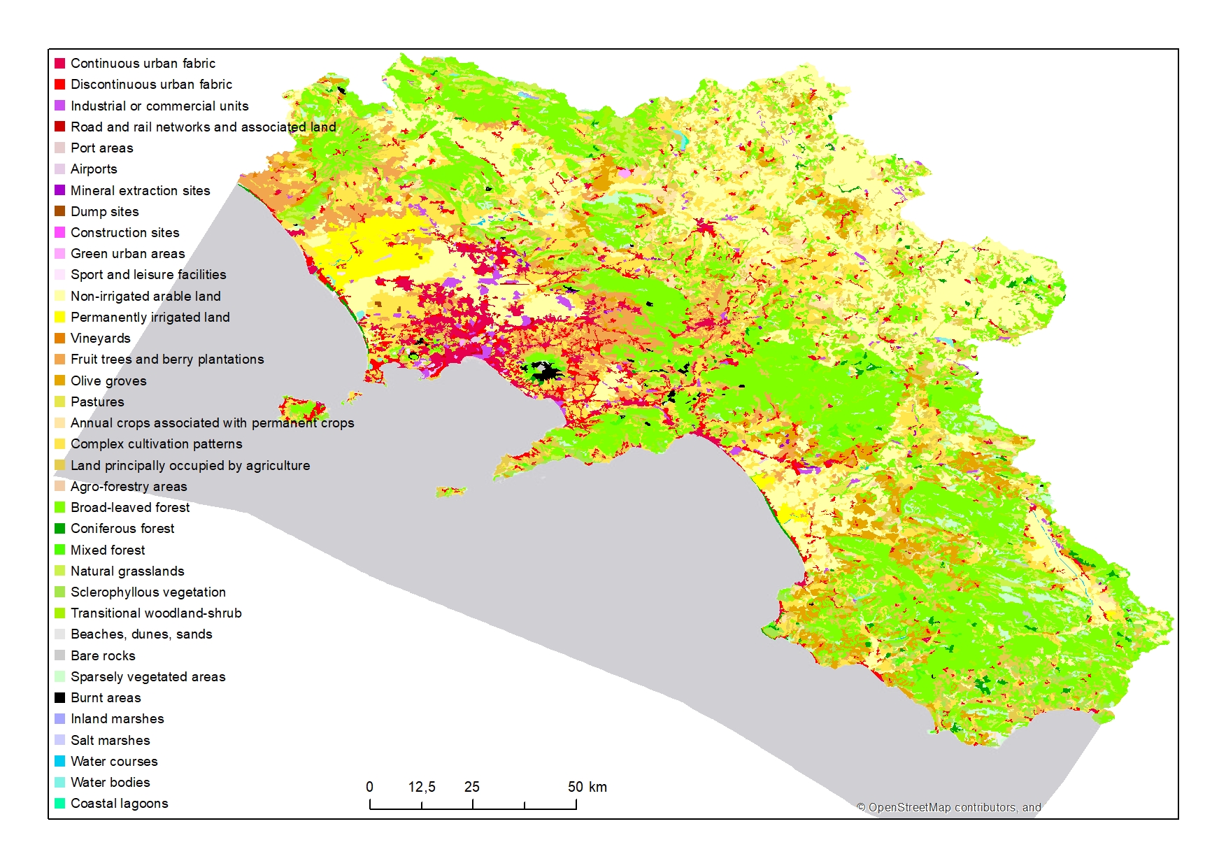
EEA - Corine Land Cover 2018
Corine Land Cover of the Campania Region for the year 2018
Simple
- Date ( Creation )
- 2020-08-06
- Credit
- © European Union
- Status
- Completed
- Maintenance and update frequency
- As needed
- Keywords
-
- feamp
- campania
- corine
- land cover
- 2018
- GEMET - INSPIRE themes, version 1.0 GEMET - INSPIRE themes, version 1.0 ( Theme )
-
- Land cover
- Use limitation
- None
- Use constraints
- Other restrictions
- Other constraints
- Data policy of the project (link)
- Access constraints
- Other restrictions
- Other constraints
- Data policy of the project (link)
- Classification
- Unclassified
- Spatial representation type
- Vector
- Metadata language
- it
- Character set
- UTF8
- Topic category
-
- Imagery base maps earth cover
N
S
E
W
))
- Supplemental Information
- Original metadata are available at the link: https://land.copernicus.eu/pan-european/corine-land-cover/clc2018?tab=metadata
- Reference system identifier
- WGS 1984 - UTM33
Spatial representation info
No information provided.
- Topology level
- Geometry only
- Geometric object type
- Surface
- Geometric object count
- 6251
- Distribution format
-
-
Shapefile
(
.shp
)
-
Shapefile
(
.shp
)
- Hierarchy level
- Dataset
- Dataset
- 2018
Conformance result
- Date ( Publication )
- 2020-08-04
- Explanation
- Validated in Geonetwork according to the ISO19115 rules (27/27) and the INSPIRE rules (31/31)
- Pass
- Yes
- Statement
- Downloaded after login by Valentina Grande (CNR-ISMAR) from Copernicus Land Monitoring on 06/08/2020 and modified according to the project needs
- File identifier
- 5ac8a761-692c-483d-91a9-474b544dbe90 XML
- Metadata language
- en
- Character set
- UTF8
- Hierarchy level
- Dataset
- Date stamp
- 2020-08-19T13:20:46
- Metadata standard name
- ISO 19115:2003/19139
- Metadata standard version
- 1.0
Overviews

Spatial extent
N
S
E
W
))
Provided by

Associated resources
Not available
 FEAMP GeoNetwork catalogue