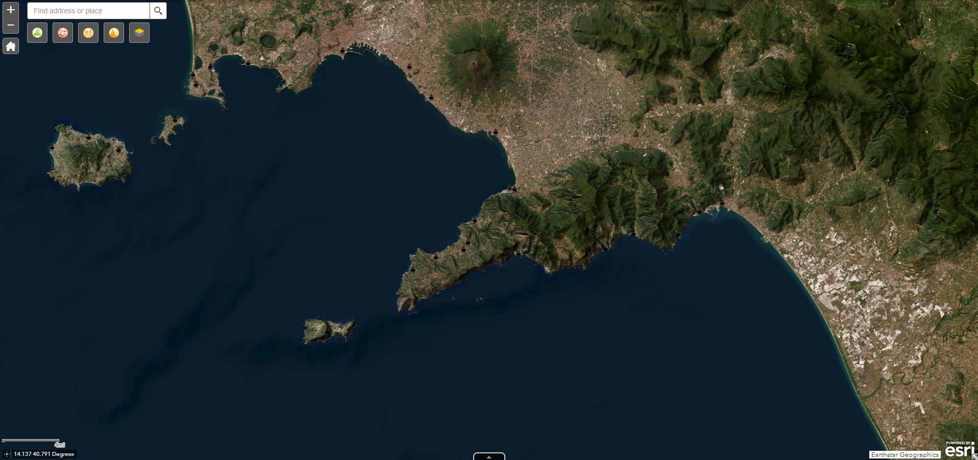
Campania fishing fleet per port
Campania fishing fleet per port. Data were retrieved from the European fleet register and divided in classes of ages, power, gross tonnage and main fishing gear.
Simple
- Date ( Publication )
- 2024-01-22
- Credit
- SZN
- Status
- Completed
- Maintenance and update frequency
- As needed
- Keywords
-
- feamp
- campania
- fishing fleet
- GEMET - INSPIRE themes, version 1.0 GEMET - INSPIRE themes, version 1.0 ( Theme )
-
- Transport networks
- Geographical names
- Administrative units
- Use limitation
- None
- Use constraints
- Other restrictions
- Other constraints
- Data policy of the project (link)
- Access constraints
- Other restrictions
- Other constraints
- Data policy of the project (link)
- Classification
- Unclassified
- Spatial representation type
- Vector
- Metadata language
- it
- Character set
- UTF8
- Topic category
-
- Economy
N
S
E
W
))
- Supplemental Information
- Any other descriptive information about the dataset
- Reference system identifier
- WGS 84
Spatial representation info
No information provided.
- Topology level
- Geometry only
- Geometric object type
- Point
- Geometric object count
- 1
- Distribution format
-
-
Shapefile
(
1.0
)
-
Shapefile
(
1.0
)
- Hierarchy level
- Dataset
- Dataset
- flotta
Conformance result
- Date ( Creation )
- 2024-01-21
- Explanation
- Validated in Geonetwork according to the ISO19115 rules (25/25) and the INSPIRE rules (30/30)
- Pass
- Yes
- Statement
- This dataset was meticulously crafted using the European Fleet Register as its foundation. To refine its focus, information about each vessel was carefully extracted and narrowed down to specifically represent the Campania region. The dataset has been organized into distinct categories, including age, power, gross tonnage, and primary fishing gear, creating a comprehensive and structured resource for analysis.
- File identifier
- 691967a8-9112-4848-9631-21df2f73e4b7 XML
- Metadata language
- en
- Character set
- UTF8
- Hierarchy level
- Dataset
- Date stamp
- 2024-01-22T10:58:27
- Metadata standard name
- ISO 19115:2003/19139
- Metadata standard version
- 1.0
Overviews

Spatial extent
N
S
E
W
))
Provided by

Associated resources
Not available
 FEAMP GeoNetwork catalogue