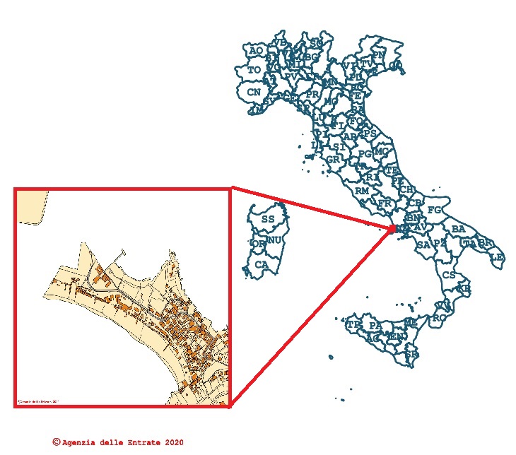
AdE - Catasto WMS
Cadastral cartography consultation - WMS
Simple
- Date ( Creation )
- 2020-10-06
- Credit
- © Agenzia delle Entrate
- Status
- Completed
- Maintenance and update frequency
- Continual
- Keywords
-
- feamp
- campania
- wms
- cadastre
- GEMET - INSPIRE themes, version 1.0 GEMET - INSPIRE themes, version 1.0 ( Theme )
-
- Cadastral parcels
- Use limitation
- The cadastral cartography consultation service is available with a CC-BY 4.0 license. The Revenue Agency is not responsible for any type of direct, indirect or accidental damage resulting from the use of the information collected through this service. Furthermore, the Agency is the data controller administration; in case of use of the data it is mandatory to mention the ownership.
- Use constraints
- Other restrictions
- Access constraints
- Other restrictions
- Classification
- Unclassified
- Metadata language
- it
- Character set
- UTF8
- Topic category
-
- Planning cadastre
N
S
E
W
))
- Distribution format
-
-
WMS
(
v.1.3.0
)
-
WMS
(
v.1.3.0
)
- OnLine resource
- Ade - Cadastre ( OGC:WMS )
- Hierarchy level
- Service
- Other
- OGC service: Web Map Service
Conformance result
- Date ( Publication )
- 2020-10-06
- Explanation
- Validated in Geonetwork according to the ISO19115 rules (25/25) and the INSPIRE rules (25/25)
- Pass
- Yes
- Statement
- Valentina Grande (CNR-ISMAR) collected the web service in the framework of the project "PO FEAMP CAMPANIA 2014/2020"
- File identifier
- 78d60aa2-aea6-4640-a5b6-ef4dcc924a36 XML
- Metadata language
- en
- Character set
- UTF8
- Parent identifier
- SIT Campania - Carta Utilizzazione Agricola dei Suoli (CUAS) 5ebdb1de-4a1d-4193-8fe5-a6e8af6f262d
- Hierarchy level
- Service
- Hierarchy level name
- OGC service
- Date stamp
- 2020-11-03T17:20:08
- Metadata standard name
- ISO 19115:2003/19139
- Metadata standard version
- 1.0
Overviews

Spatial extent
N
S
E
W
))
Provided by

Associated resources
Not available
 FEAMP GeoNetwork catalogue