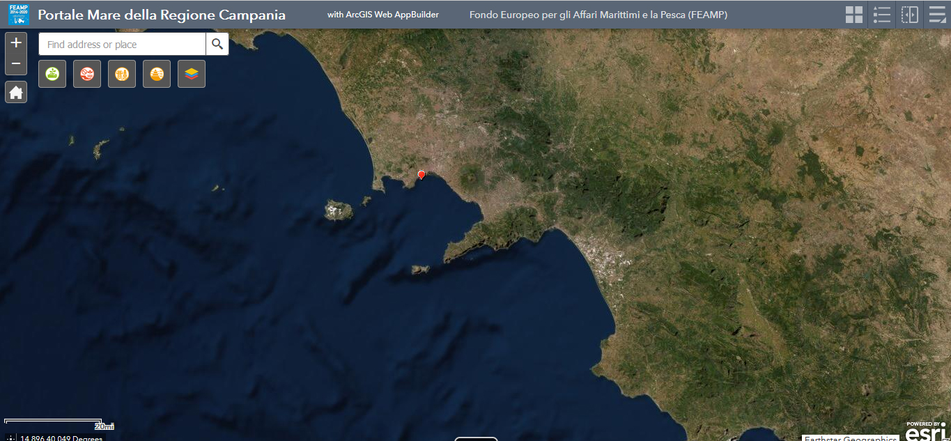
Current meter data - MEDA B - 2016
Current meter data, collected by ADCP current meter installed in the Gulf of Naples (Latitude: 40 ° 49.668 'N, Longitude: 014 ° 13.984' E), on a depth of 17.5 m. Data are sampled continuously, every hour (mean). The parameters obtained are current direction (degrees) and current velocity (m / s) on 49 cells of 50cm. Not all 49 cells are in the water, the reference cell for the surface is bin 30.
Simple
- Date ( Creation )
- 2021-07-03
- Credit
- Stazione Zoologica Anton Dohrn
- Status
- On going
- Maintenance and update frequency
- As needed
- Keywords
-
- feamp
- campania
- Current meter
- GEMET - INSPIRE themes, version 1.0 GEMET - INSPIRE themes, version 1.0 ( Theme )
-
- Atmospheric conditions
- Oceanographic geographical features
- Meteorological geographical features
- Use limitation
- None
- Use constraints
- Other restrictions
- Other constraints
- Data policy of the project (link)
- Access constraints
- Other restrictions
- Other constraints
- Data policy of the project (link)
- Classification
- Unclassified
- Spatial representation type
- Vector
- Metadata language
- it
- Character set
- UTF8
- Topic category
-
- Climatology, meteorology, atmosphere
- Environment
- Geoscientific information
N
S
E
W
))
- Supplemental Information
- Any other descriptive information about the dataset
- Reference system identifier
- Coordinate system (e.g. WGS 1984)
Spatial representation info
No information provided.
- Number of dimensions
- 3
- Cell geometry
- Area
- Distribution format
-
-
Format of the resource (e.g. *.shp)
(
e. g.. v1.0
)
-
Format of the resource (e.g. *.shp)
(
e. g.. v1.0
)
- OnLine resource
-
Luciano Bosso_MEDA_B_Correntometria_ORARI
(
WWW:LINK-1.0-http--link
)
Current meter data, collected by ADCP current meter installed in the Gulf of Naples (Latitude: 40 ° 49.668 'N, Longitude: 014 ° 13.984' E), on a depth of 17.5 m. Data are sampled continuously, every 15 minutes. The parameters obtained are current direction (degrees) and current velocity (m / s) on 49 cells of 50cm. Not all 49 cells are in the water, the reference cell for the surface is bin 30.
- Hierarchy level
- Model
- Other
- x
Conformance result
- Date ( Revision )
- 2020-08-04
- Explanation
- Validated in Geonetwork according to the ISO19115 rules (23/23) and the INSPIRE rules (29/29)
- Pass
- Yes
- Statement
- General explanation of the data producer_s knowledge about the lineage of a dataset
- File identifier
- 8cf6bbea-aeba-459c-b1cd-40af464e51c9 XML
- Metadata language
- en
- Character set
- UTF8
- Hierarchy level
- Dataset
- Date stamp
- 2021-07-14T10:00:12
- Metadata standard name
- ISO 19115:2003/19139
- Metadata standard version
- 1.0
Overviews

Spatial extent
N
S
E
W
))
Provided by

Associated resources
Not available
 FEAMP GeoNetwork catalogue