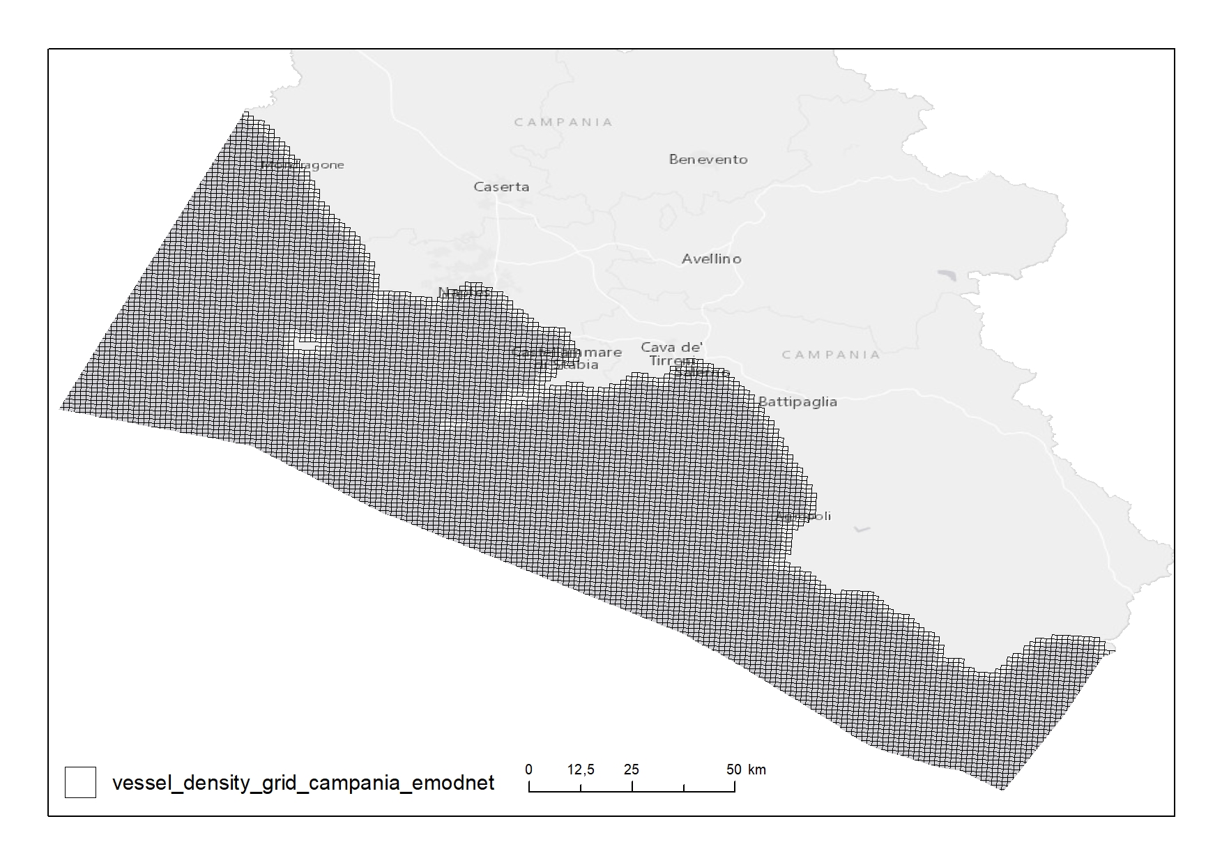
EMODnet - Vessel density 2018
Shipping density from AIS data 2018 in 1km*1km cells of a grid covering the Campania Region. The following ship types are available:0 Other, 1 Fishing, 2 Service, 3 Dredging or underwater ops, 4 Sailing, 5 Pleasure Craft, 6 High speed craft, 7 Tug and towing, 8 Passenger, 9 Cargo, 10 Tanker, 11 Military and Law Enforcement, 12 Unknown and All ship types. Data are available by month of year. Yearly averages are also available.
Simple
- Date ( Creation )
- 2020-06-15
- Credit
- © EMODnet
- Status
- Completed
- Maintenance and update frequency
- As needed
- Keywords
-
- feamp
- campania
- human activity
- shipping
- densità
- ship
- AIS
- GEMET - INSPIRE themes, version 1.0 GEMET - INSPIRE themes, version 1.0 ( Theme )
-
- Utility and governmental services
- Transport networks
- Area management/restriction/regulation zones and reporting units
- Land use
- Use limitation
- None
- Use constraints
- Other restrictions
- Other constraints
- EMODnet data policy (https://www.emodnet-bathymetry.eu/internal_html/disclaimer/10)
- Access constraints
- Other restrictions
- Other constraints
- Data policy of the project (https://www.emodnet-bathymetry.eu/internal_html/disclaimer/10)
- Classification
- Unclassified
- Spatial representation type
- Vector
- Metadata language
- it
- Character set
- UTF8
- Topic category
-
- Transportation
- Economy
N
S
E
W
))
- Supplemental Information
- Original metadata are available on the EMODnet Geoportal "Human activities" at the link: https://www.emodnet-humanactivities.eu/search-results.php?dataname=Vessel+Density+
- Reference system identifier
- ETRS_1989_LAEA
Spatial representation info
No information provided.
- Topology level
- Geometry only
- Geometric object type
- Surface
- Geometric object count
- 9699
- Distribution format
-
-
Shapefile
(
.shp
)
-
Shapefile
(
.shp
)
- Hierarchy level
- Dataset
- Other
- Punti
Conformance result
- Date ( Revision )
- 2020-08-04
- Explanation
- Validated in Geonetwork according to the ISO19115 rules (26/26) and the INSPIRE rules (29/29)
- Pass
- Yes
- Statement
- Valentina Grande (CNR-ISMAR) downloaded the shapefile "Vessel Density" from the EMODnet Geoportal "Human activities" on 26/05/2020 and she selected (ArcGIS 10.5) the features in the Campania Region according to the project needs. She associated the raster values to the shapefile (ArcGIS 10.5 tools: "Feature To Point - Data Management"; "Extract Multi Values to Points - Spatial Analyst" and "Join Features").
- File identifier
- c38e5a0e-f9b8-4c7a-b13a-86ea39dd2f9b XML
- Metadata language
- en
- Character set
- UTF8
- Hierarchy level
- Dataset
- Date stamp
- 2020-08-20T09:14:28
- Metadata standard name
- ISO 19115:2003/19139
- Metadata standard version
- 1.0
Overviews

Spatial extent
N
S
E
W
))
Provided by

Associated resources
Not available
 FEAMP GeoNetwork catalogue