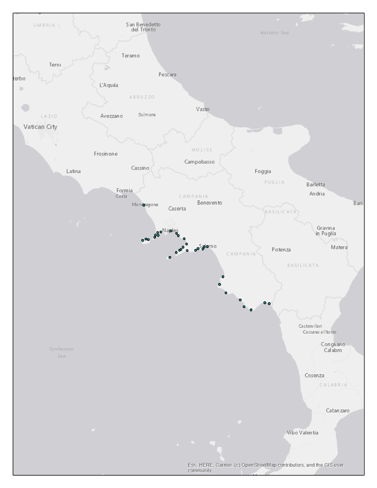
Campania fishing fleet - technical characteristics
The “Camp_fleet_tech” dataset provides information on the fishing fleet of the Campania region. The dataset is constituted by georeferenced data about the fishing vessels that are present in the region according to their registration place, in .shp format. The “Fleet Register” dataset from the European Commission lists each fishing vessel registered in an EU’s country, including information on their identification codes, registration place, length, tonnage, engine power and gear types used. The “Fleet Register” dataset was downloaded at
https://webgate.ec.europa.eu/fleet-europa/index_en.
The whole “Fleet Register” was subset to keep only the data on vessels registered in Campania. Among all columns of the original dataset, exclusively the ones of interest were retained. This filtered dataset was then handled by data analysis tools to produce a new dataset according to the need to organize the data on the fishing fleet by localities. The dataset includes the registration places and their spatial coordinates. The other fields provide information about technical features of the vessels registered at each locality: Length Overall (LOA), Gross Tonnage (GT) and engine power. The vessels technical features (fields) were categorized according to Eurostat reference metadata, provided about the “Fleet Register” dataset at
https://ec.europa.eu/eurostat/cache/metadata/en/fish_fleet_esms.htm.
The dataset provides the number of vessels falling under a specific category, for each feature and each registration place. Eg. 38 fishing vessels of length ranging from 6 to 8.99 meters are registered in Naples. The “Camp_fleet_tech” dataset was handled using ArcGis to produce the final shapefile: “Campl_fleet_tech.shp”.
Simple
- Date ( Creation )
- 2020-12-24T00:41:00
- Credit
- SZN
- Status
- Completed
- Maintenance and update frequency
- As needed
- Keywords
-
- feamp
- campania
- fishing
- fleet
- technical
- GEMET - INSPIRE themes, version 1.0 GEMET - INSPIRE themes, version 1.0 ( Theme )
-
- Sea regions
- Use limitation
- None
- Use constraints
- Other restrictions
- Other constraints
- Data policy of the project (link)
- Access constraints
- Other restrictions
- Other constraints
- Data policy of the project (link)
- Classification
- Unclassified
- Spatial representation type
- Vector
- Metadata language
- it
- Character set
- UTF8
- Topic category
-
- Location
N
S
E
W
))
- Supplemental Information
- Any other descriptive information about the dataset
- Reference system identifier
- WGS 84 - UTM33N
Spatial representation info
No information provided.
- Topology level
- Geometry only
- Geometric object type
- Point
- Geometric object count
- 34
- Distribution format
-
-
Shapefile
(
.shp
)
-
Shapefile
(
.shp
)
- OnLine resource
- Campania fishing fleet - technical characteristics ( WWW:LINK-1.0-http--link )
- Hierarchy level
- Dataset
- Dataset
- Point
Conformance result
- Date ( Publication )
- 2020-08-04
- Explanation
- Validated in Geonetwork according to the ISO19115 rules (25/25) and the INSPIRE rules (30/30)
- Pass
- Yes
- Statement
- General explanation of the data producer_s knowledge about the lineage of a dataset
- File identifier
- de4209d4-1b9c-4747-8679-48fb5369e7c0 XML
- Metadata language
- en
- Character set
- UTF8
- Hierarchy level
- Dataset
- Date stamp
- 2021-06-29T08:51:26
- Metadata standard name
- ISO 19115:2003/19139
- Metadata standard version
- 1.0
Overviews

Spatial extent
N
S
E
W
))
Provided by

Associated resources
Not available
 FEAMP GeoNetwork catalogue