Keyword
Natural risk zones
Type of resources
Topics
INSPIRE themes
Keywords
Contact for the resource
Provided by
Years
Formats
Representation types
Update frequencies
status
Scale
From
1
-
3
/
3
-
Shapefile of Level 2: Morphological Units. They represent large units in which there are different morphobathymetric elements (Level 3) whose predominance is characterising and indicative of certain geological processes or phenomena. Original metadata sheet: http://dati.protezionecivile.it/geoportalDPC/catalog/search/resource/details.page?uuid=PCM_MaGIC1_17%3A20160627%3A125032
-

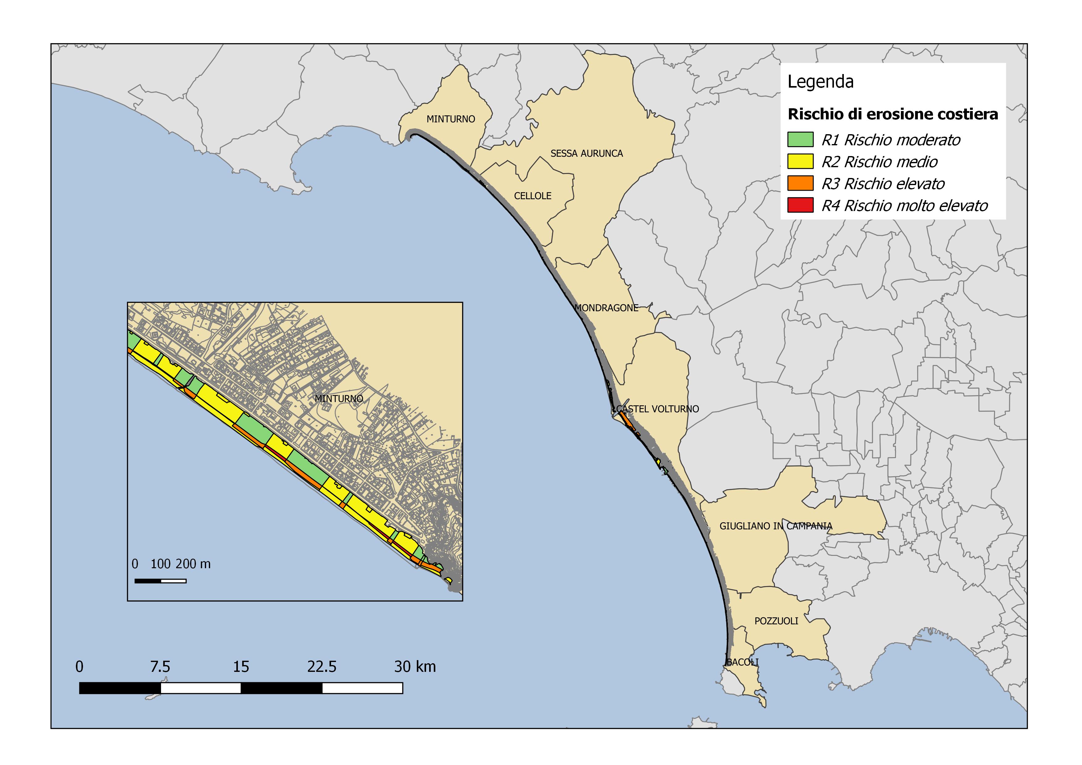
Coastal erosion risk maps for the Campania Region derived from Piano Stralcio Erosione Costiera (PSEC), Autorità di Bacino Distrettuale dell'Appennino Meridionale
-

Centroids of the Corine Land Cover of the Campania Region for the years 2018
 FEAMP GeoNetwork catalogue