dataset
Type of resources
Available actions
Topics
INSPIRE themes
Keywords
Contact for the resource
Provided by
Years
Formats
Representation types
Update frequencies
status
Scale
Resolution
-

Changes of Corine Land Cover in the Campania Region between the years 2000 and 2006
-
Brief narrative summary of the content of the resource(s)
-
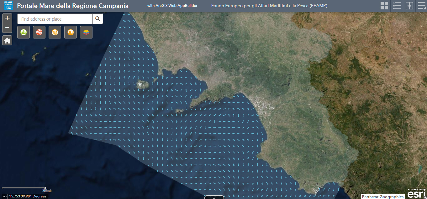
The physical component of the Mediterranean Forecasting System (Med-Currents) is a coupled hydrodynamic-wave model implemented over the whole Mediterranean Basin including tides. The model horizontal grid resolution is 1/24˚ (ca. 4 km) and has 141 unevenly spaced vertical levels.The hydrodynamics are supplied by the Nucleous for European Modelling of the Ocean (NEMO v3.6) while the wave component is provided by Wave Watch-III; the model solutions are corrected by a variational data assimilation scheme (3DVAR) of temperature and salinity vertical profiles and along track satellite Sea Level Anomaly observations. Product Citation: Please refer to our Technical FAQ for citing products.http://marine.copernicus.eu/faq/cite-cmems-products-cmems-credit/?idpage=169 REFERENCES https://doi.org/10.25423/CMCC/MEDSEA_ANALYSISFORECAST_PHY_006_013_EAS6 Clementi, E., Aydogdu, A., Goglio, A. C., Pistoia, J., Escudier, R., Drudi, M., Grandi, A., Mariani, A., Lyubartsev, V., Lecci, R., Cretí, S., Coppini, G., Masina, S., & Pinardi, N. (2021). Mediterranean Sea Physical Analysis and Forecast (CMEMS MED-Currents, EAS6 system) (Version 1) [Data set]. Copernicus Monitoring Environment Marine Service (CMEMS). Further details: https://resources.marine.copernicus.eu/?option=com_csw&view=details&product_id=MEDSEA_ANALYSISFORECAST_PHY_006_013
-
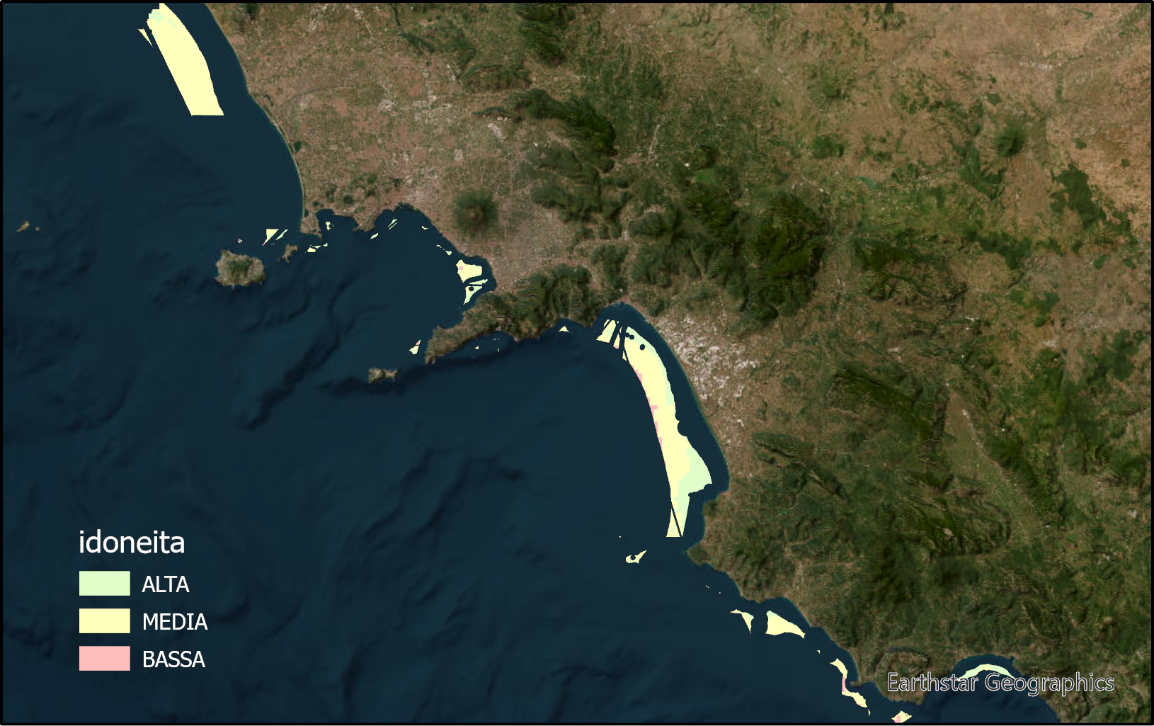
The layer identifies marine zones highly suitable for sea bass and sea breams aquaculture in the Campania region. These zones are between the bathymetric of 25 and 80m. Zones under environmental constraints and for other marine uses are excluded.
-
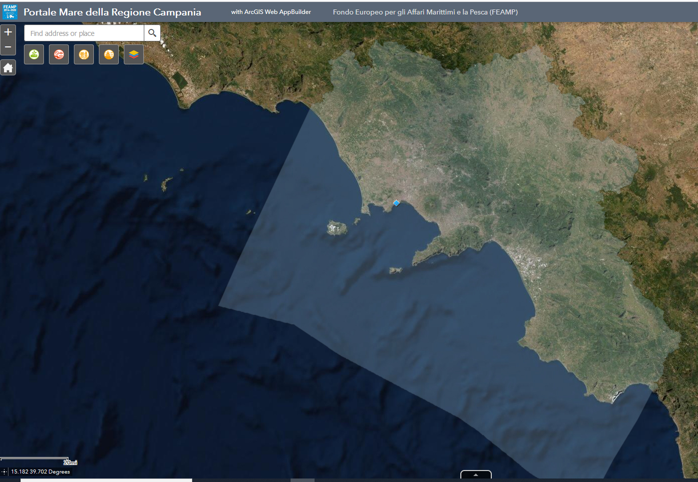
The weather station installed on MEDA_B located in the Gulf of Naples (Latitude: 40 ° 49.668 'N, Longitude: 014 ° 13.984' E), continuously sample each hour, the following parameters: Wind direction (degrees), Wind Speed (m / s), Air Temperature (° C), Atmospheric Pressure (hPa), Relative Humidity (%), Rain (mm / h) and Photosynthetically Active Radiation (PAR, µE / m2 × sec).
-
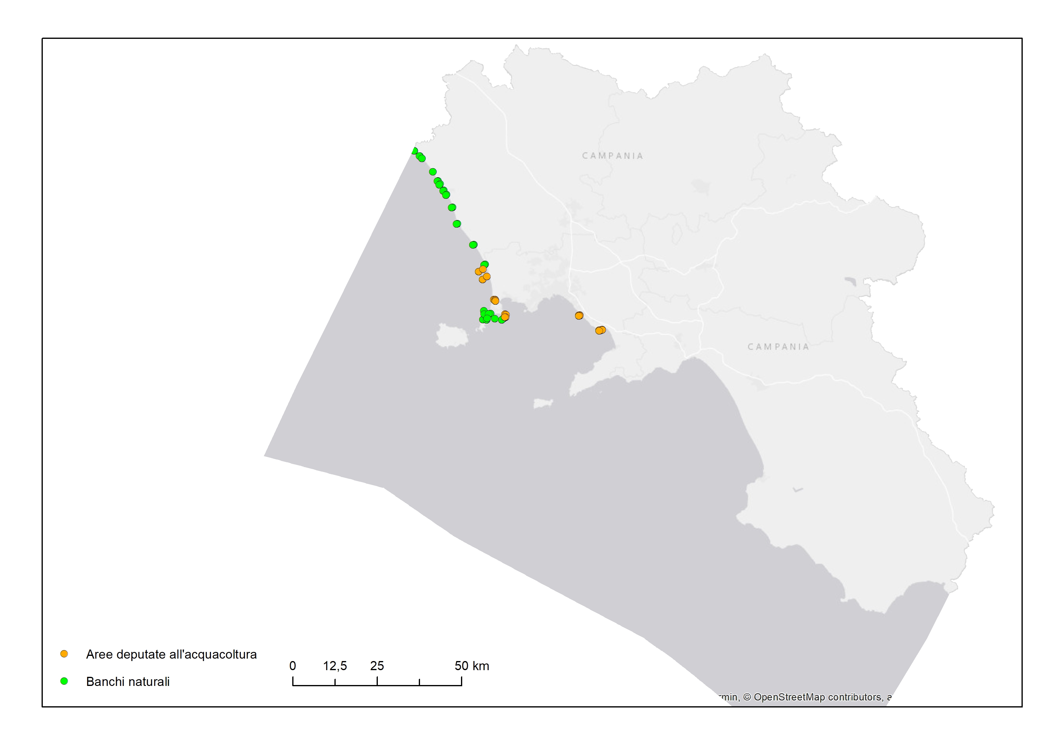
Points digitized from table with data relating to mollusc farming or purification farms, and natural mussel banks
-
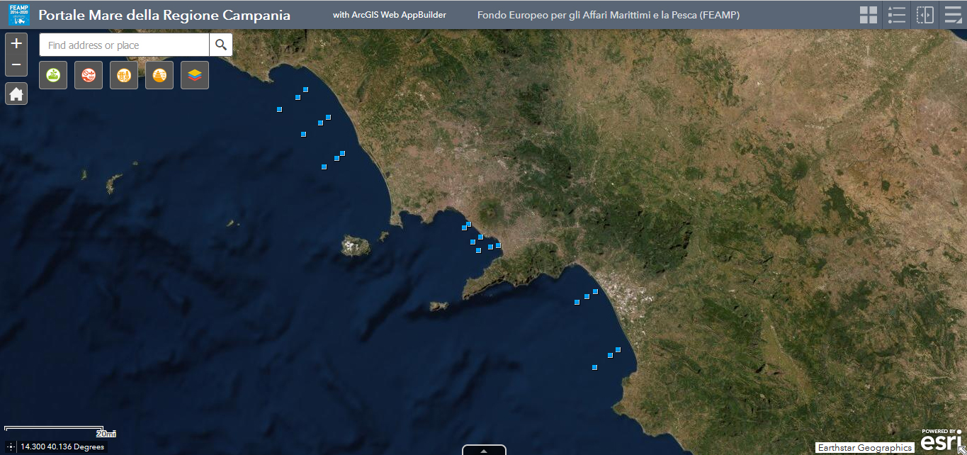
Physical parameters collected during the FEAMP oceanographic campaign, in the Gulf of Gaeta (09 and 10 September 2020), Gulf of Naples (17 and 18 September 2020) and Gulf of Salerno (06 and 09 October 2020). The sampling parameters are temperature (Tv290C), conductivity (C0mS/cm), salinity (Sal00), density (Sigma-é00), oxygen (Sbeox0PS; Sbeox0ML/L), ph, transmittance (CStarTr0; CStarAt0), turbidity (TurbflTC0) and fluorescence (FlECO-AFL). The parameters are collected over the entire water column.
-
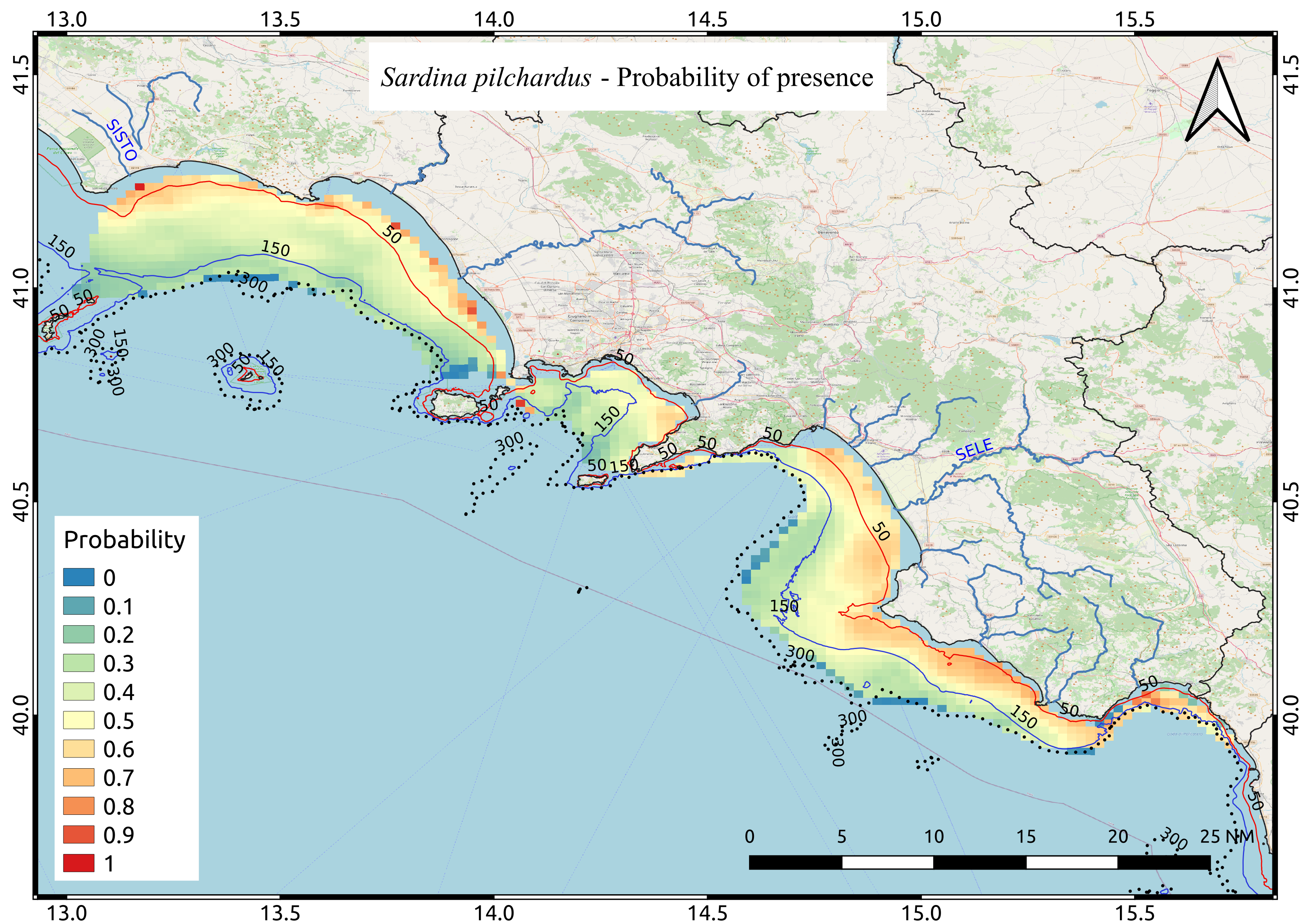
Mappa media di probabilità di presenza relativa alla specie Sardina pilchardus calcolata, attraverso l'utilizzo di un approccio geostatistico (Indicator Kriging), sulla base di 9 anni di campagne di valutazione acustica della biomassa ittica pelagica svolte nel periodo estivo
-

Potential distribution of Hippocampus hippocampus in the FEAMP area. We used an ecological modelling approach by using Biomod2 package in R. Spatial resolution 1 km2. For further details see: https://onlinelibrary.wiley.com/doi/full/10.1111/ddi.12741
-

Average probability map of Boops boops computed by means of Indicator kriging based on 9 years of acoustic surveys carried out in the summer period
 FEAMP GeoNetwork catalogue