location
Type of resources
Topics
INSPIRE themes
Keywords
Contact for the resource
Provided by
Years
Formats
Representation types
Update frequencies
status
-

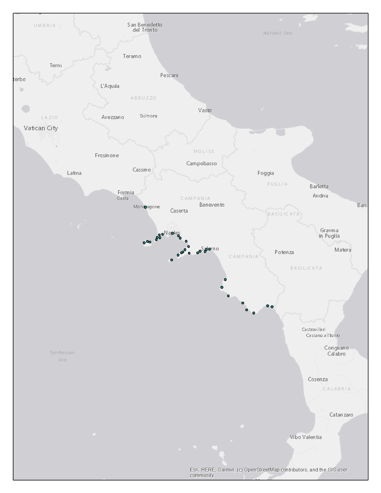
The “Camp_fleet_tech” dataset provides information on the fishing fleet of the Campania region. The dataset is constituted by georeferenced data about the fishing vessels that are present in the region according to their registration place, in .shp format. The “Fleet Register” dataset from the European Commission lists each fishing vessel registered in an EU’s country, including information on their identification codes, registration place, length, tonnage, engine power and gear types used. The “Fleet Register” dataset was downloaded at https://webgate.ec.europa.eu/fleet-europa/index_en. The whole “Fleet Register” was subset to keep only the data on vessels registered in Campania. Among all columns of the original dataset, exclusively the ones of interest were retained. This filtered dataset was then handled by data analysis tools to produce a new dataset according to the need to organize the data on the fishing fleet by localities. The dataset includes the registration places and their spatial coordinates. The other fields provide information about technical features of the vessels registered at each locality: Length Overall (LOA), Gross Tonnage (GT) and engine power. The vessels technical features (fields) were categorized according to Eurostat reference metadata, provided about the “Fleet Register” dataset at https://ec.europa.eu/eurostat/cache/metadata/en/fish_fleet_esms.htm. The dataset provides the number of vessels falling under a specific category, for each feature and each registration place. Eg. 38 fishing vessels of length ranging from 6 to 8.99 meters are registered in Naples. The “Camp_fleet_tech” dataset was handled using ArcGis to produce the final shapefile: “Campl_fleet_tech.shp”.
-

The layer shows the location of a total of 114 submerged or partially submerged archaeological sites have been identified. Most of the sites identified date from the Roman-Imperial period and the greatest concentration was found along the coast of the Municipality of Naples. Along the coast of Caserta there are only a few remains, while there are many testimonies along the coasts of the islands of Capri, Procida and Ischia and along the peninsulas of Sorrento and Cilento coast.
-
Records of marine benthic invertebrates protected by the Bern Convention in Campania
-
Records of marine benthic species protected by the Directive Habitat in Campania
-
Enterococcus and E. coli monitoring locations collected by Arpa Campania between 2013 and 2020
-

Density of AIS signal (number of pings) and estimated fishing activities (in fishing hours) of bottom otter trawl (OTB) and purse seine (PS) from AIS 2019 in the study area. The estimation of fihsing effort include also fishing activity estimated by gaps analysis and by fleet segments - 1km grid resolution. All grid cells with estimated fishing effort less than 0.3 hours were excluded.
-

Density of AIS signal (number of pings) and estimated fishing activities (in fishing hours) of bottom otter trawl (OTB) and purse seine (PS) from AIS 2019 in GSA 10 - 5km grid resolution. All grid cells with estimated fishing effort less than 0.5 were excluded.
-

Participatory mapping of small-scale fishing. Small-scale fishing effort is provided with a resolution of 0.01°*0.01°, in terms of fishing days, related employed gear, and targeted species.
-

Participatory mapping of small-scale fishing. Small-scale fishing effort is provided in the form of polygons, drawn by fishermen during the interviews on the standardized grid for the cartographic mapping of the answers, and later digitalized. The dataset contains information about the fishing effort in terms of fishing days (per month and per year), related gear, and targeted species.
-

Monthly density of AIS signal (number of pings) and estimated fishing activities (in fishing hours) of bottom otter trawl (OTB) and purse seine (PS) from AIS 2019 in the study area - 1km grid resolution. All grid cells with estimated fishing effort less than 0.3 fishing hours were excluded.
 FEAMP GeoNetwork catalogue