environment
Type of resources
Available actions
Topics
INSPIRE themes
Keywords
Contact for the resource
Provided by
Years
Formats
Representation types
Update frequencies
status
Resolution
-
Chemical data
-
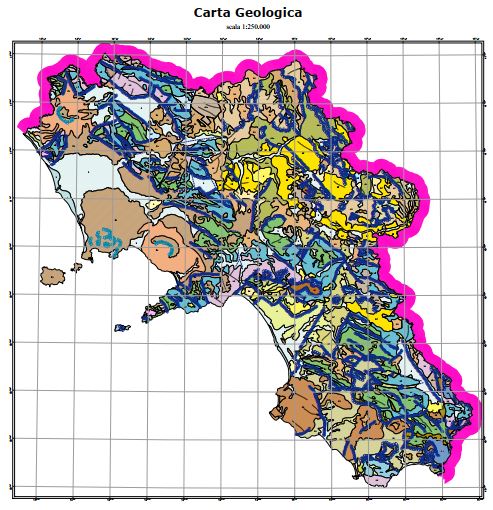
The geological map was produced by APAT, the Agency for the Protection of the Environment and for Technical Services, as a summary of the surveys carried out on a national scale as part of the CARG Project, National Geological Cartography, at a scale of 1: 50,000. Some changes were necessary for the volcanic themes of the Neapolitan area.
-
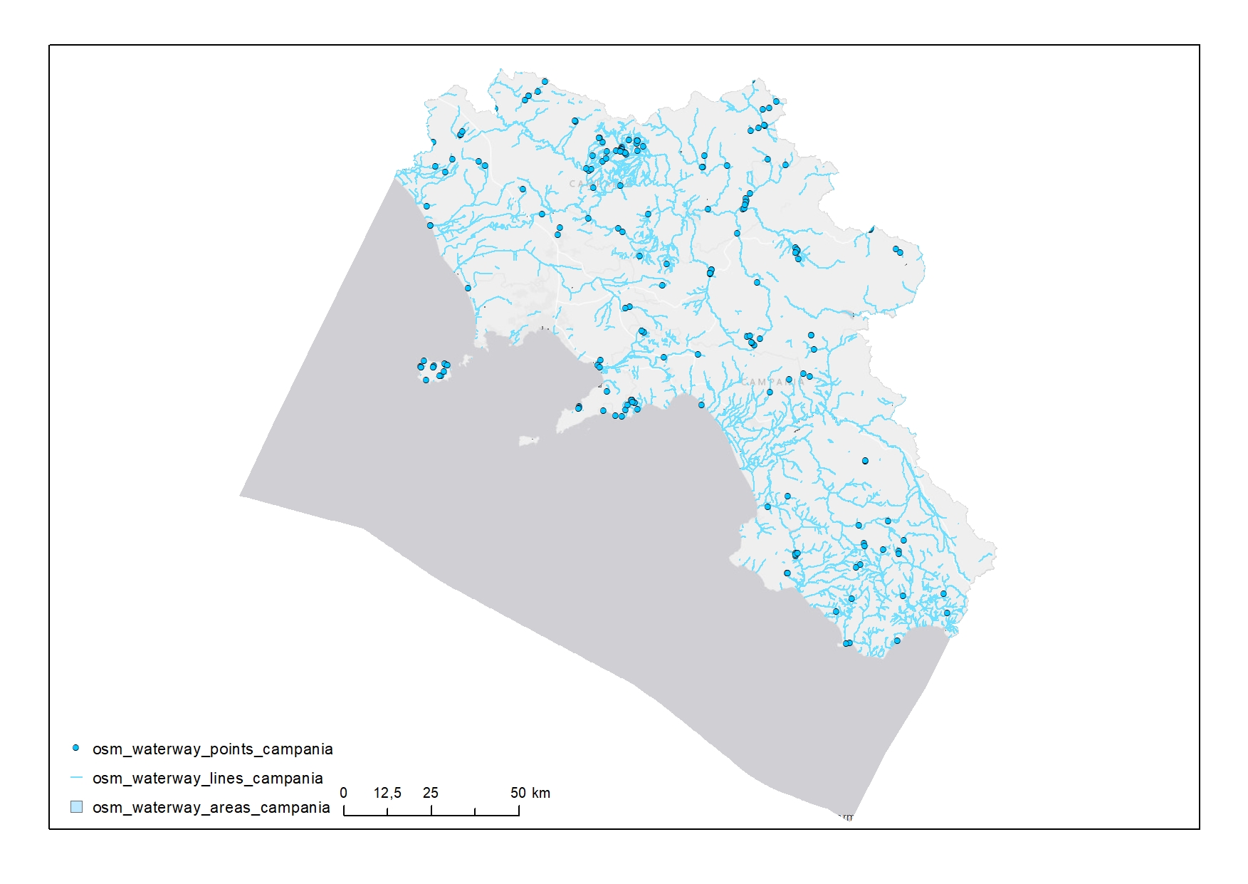
Waterways in Campania
-
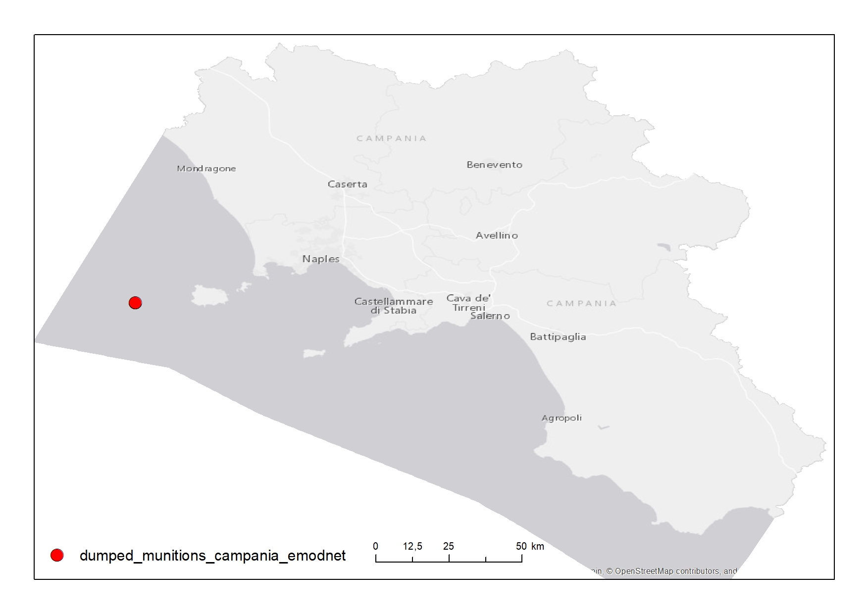
Points representing dumped munitions sites in the Campania Region
-
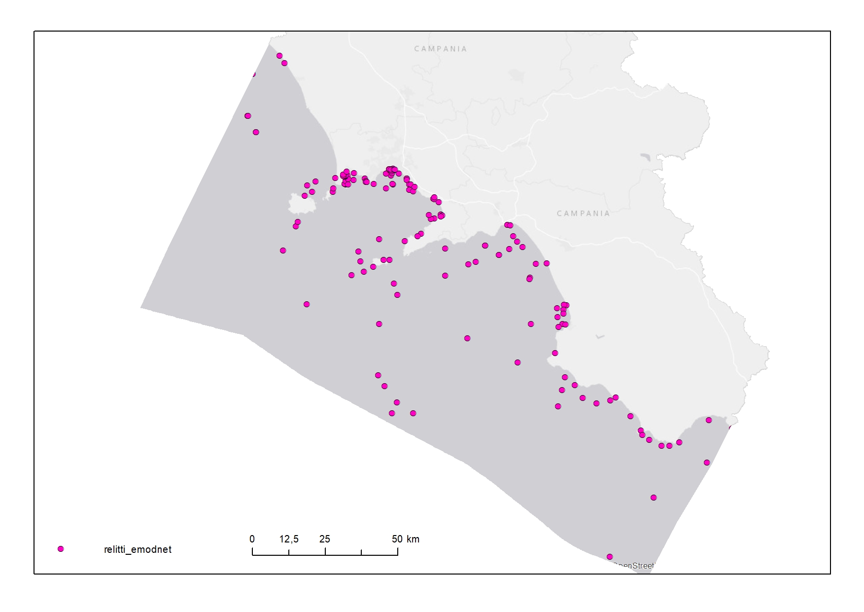
Wrecks in the Territorial Sea (12 NM) of Campania Region
-
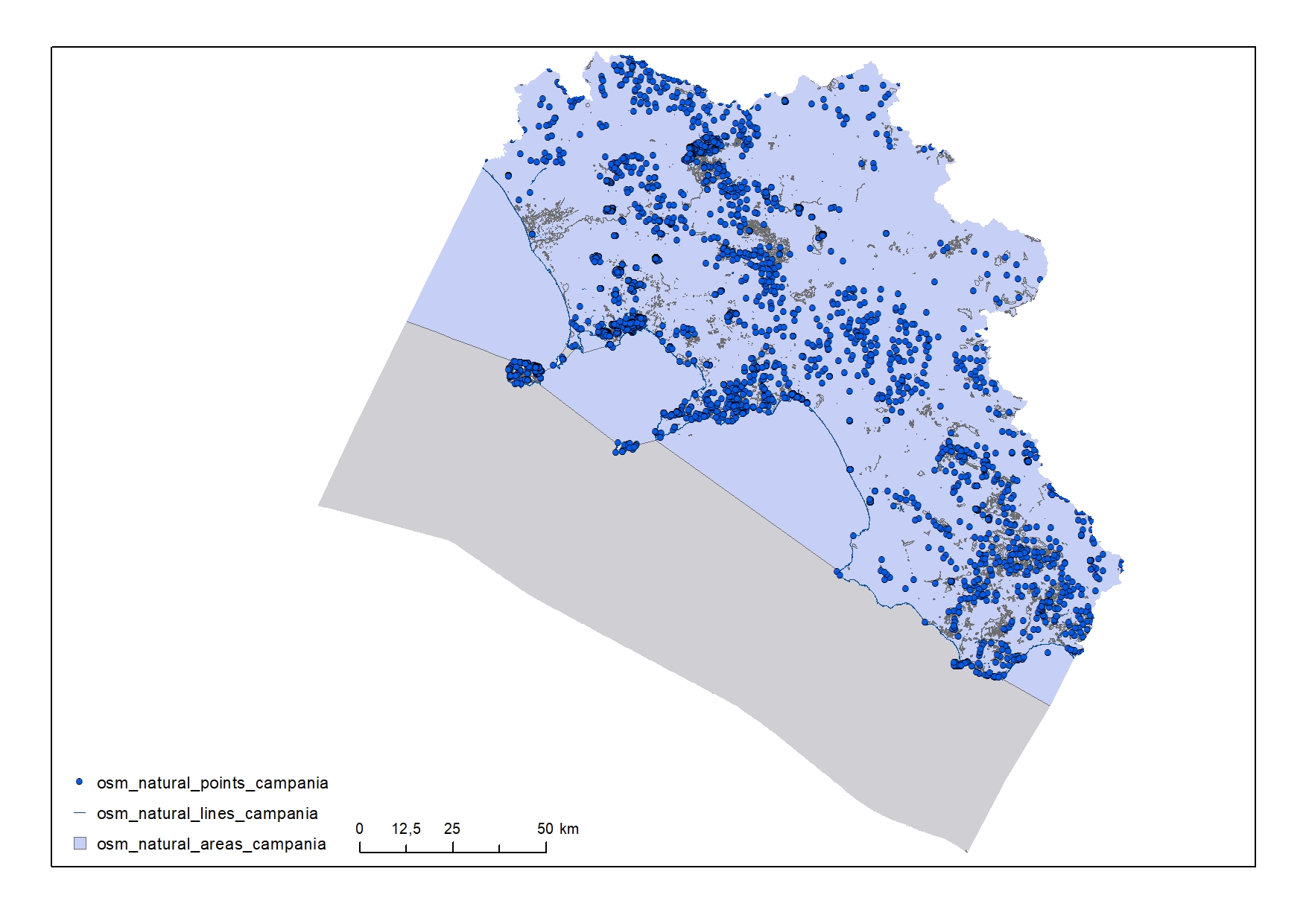
Natural elements in the Campania Region
-
Map showing the position and the zoning of the protected site "Area Marina Protetta Parco Sommerso di Gaiola" in the Campania region
-
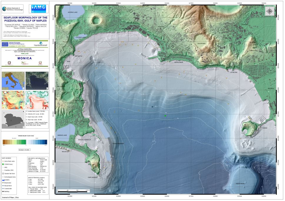
Carta della morfologia del fondale della Baia di Pozzuoli pubblicata su Journal of maps Volume 12, 2016 - Issue 2
-
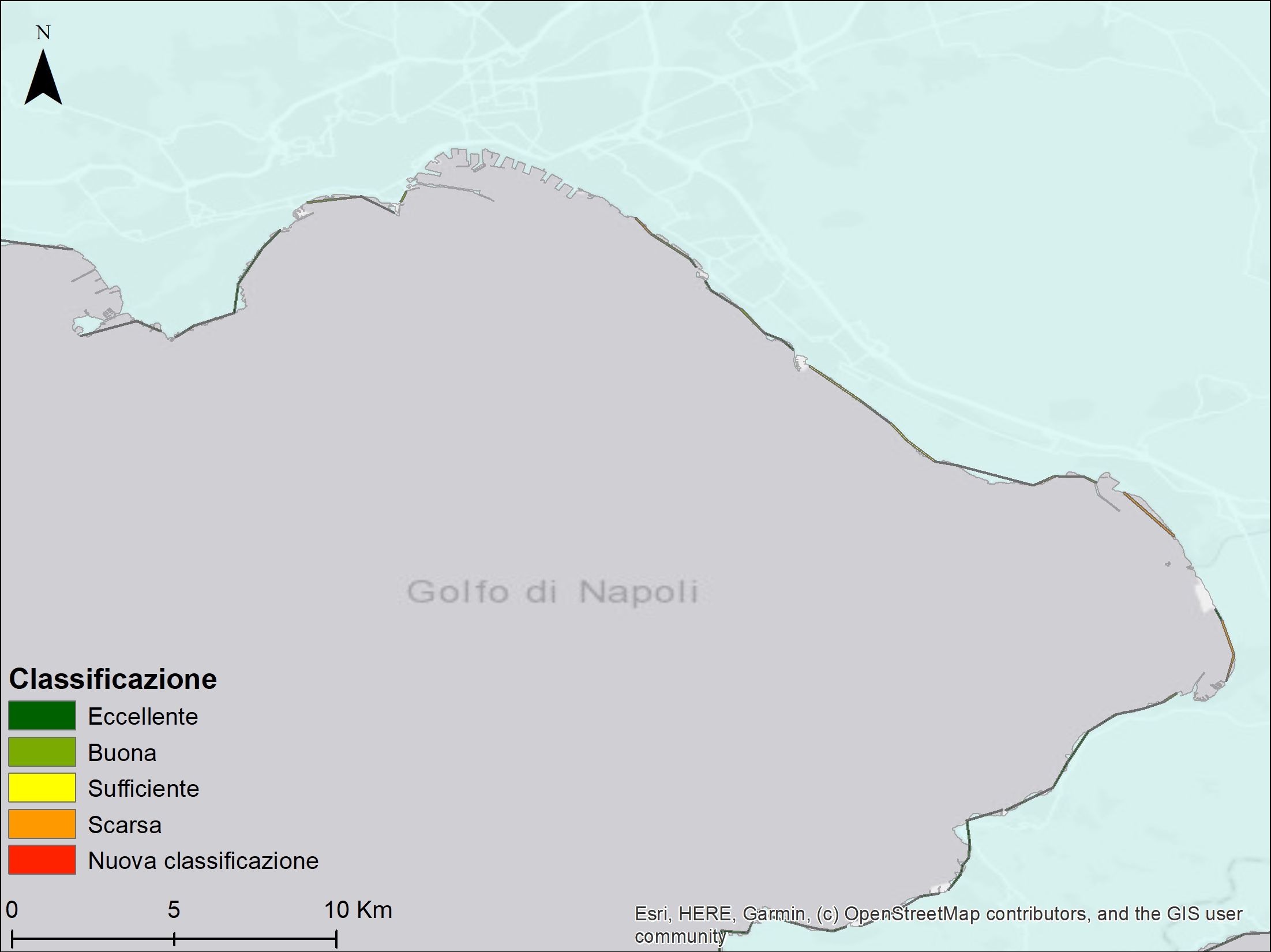
Campania bathing water classification as reported in 2020 by ARPA Campania. The suitability judgment stems from the statistical analysis of the last four years of monitoring activities about the presence of two bacteriological parameters: Escherichia coli and Enterococcus spp. that are considered specific indicators of fecal contamination according to WHO.
-

Map showing the position and the extent of the protected site "Foce Volturno – Variconi" in the Campania Region designated as SCI with the Natura 2000 code "IT8010028"
 FEAMP GeoNetwork catalogue