map
Type of resources
Topics
INSPIRE themes
Keywords
Contact for the resource
Provided by
Years
Formats
Update frequencies
status
-
Map showing the position and the zoning of the protected site "Area Marina Protetta Parco Sommerso di Gaiola" in the Campania region
-

Map showing the location and the extent of the protected site " Parco Marino di Punta degli Infreschi" in the Campania Region designated as SAC and SPA with the Natura 2000 code "IT8050037"
-

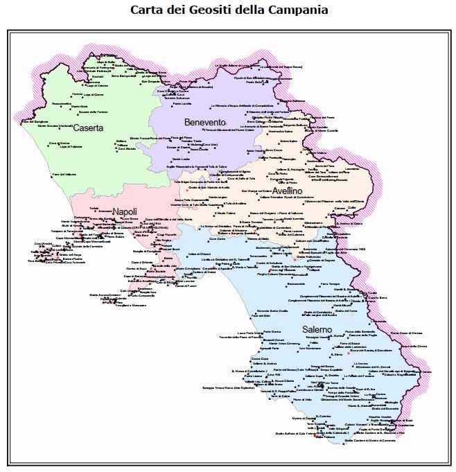
The map of geosites identifies the places where important evidence of the history of the geological evolution of the Campania Region is preserved, and being elements of landscape, scientific and cultural value, they will be suitably inserted in a landscape planning context as points or nodes of the ecological network, which representative aspects of regional geodiversity.
-

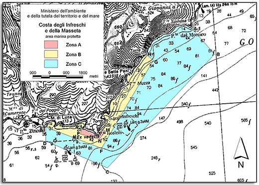
Map showing the position and the zoning of the protected site "Area Marina Protetta Costa degli Infreschi e della Massetta" in the Campania Region
-

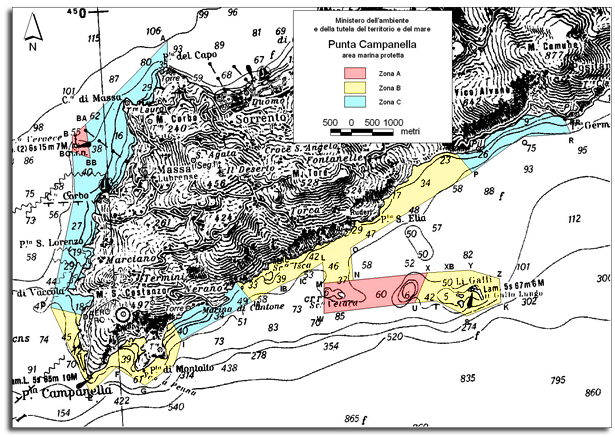
Map showing the position and the zoning of the protected site "Area Marina Protetta Punta Campanella" in the Campania Region
-
Map showing the location and the extent of the protected site "Fondali marini di punta Campanella e Capri" in the Campania Region designated as SAC and SPA with the Natura 2000 code "IT8030011"
-

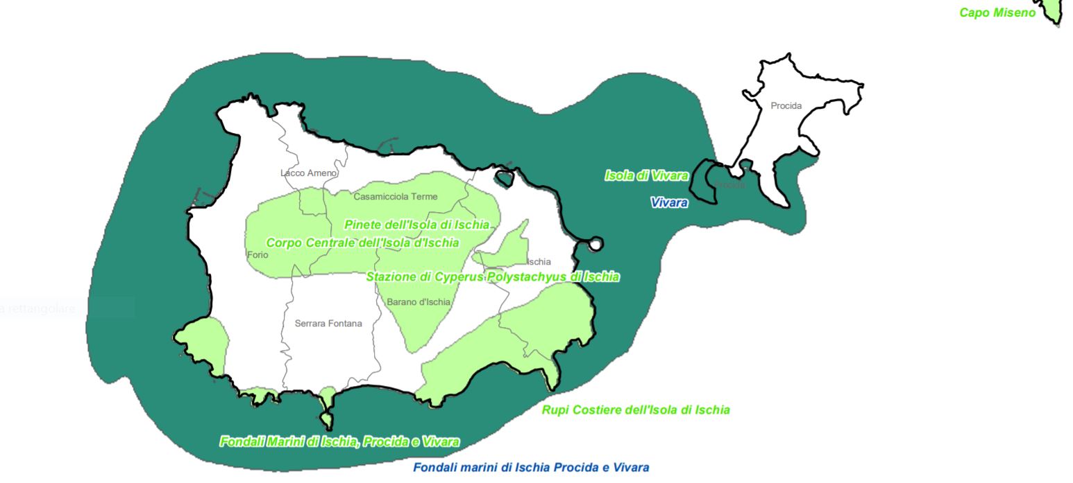
Map showing the location and the extent of the protected site "Fondali Marini di Ischia, Procida E Vivara" in the Campania Region designated as SCI with the Natura 2000 code "IT8030010"
-

Map showing the position and the extent of the protected site "Foce Volturno – Variconi" in the Campania Region designated as SCI with the Natura 2000 code "IT8010028"
-
Map showing the location and the extent of the protected site "Parco Marino di S.Maria di Castellabate in the Campania Region designated as SAC and SPA with the Natura 2000 code "IT8050036"
-

Benthic habitat map of the Campania Region produced in the framework of the FEAMP-ISSPA Project by CNR-ISMAR
 FEAMP GeoNetwork catalogue