chart
Type of resources
Topics
INSPIRE themes
Keywords
Contact for the resource
Provided by
Years
Formats
Representation types
Update frequencies
status
Scale
-
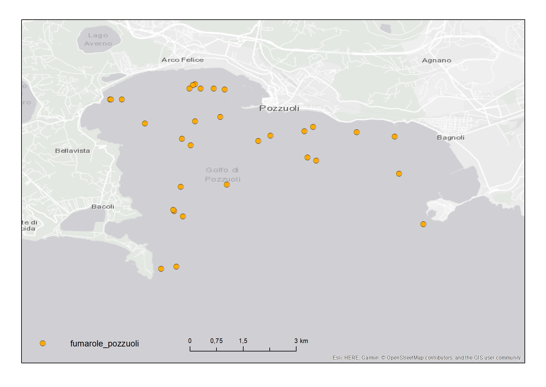
Active fluid vents in the Gulf of Pozzuoli (Campania Region) represented in "Carta della morfologia del fondale della Baia di Pozzuoli, Golfo di Napoli"
-
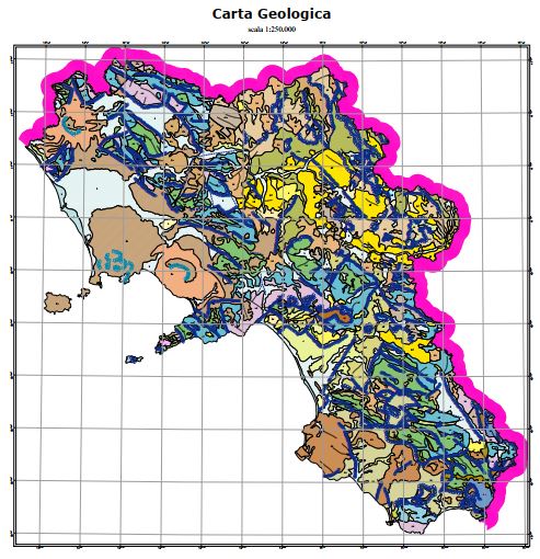
The geological map was produced by APAT, the Agency for the Protection of the Environment and for Technical Services, as a summary of the surveys carried out on a national scale as part of the CARG Project, National Geological Cartography, at a scale of 1: 50,000. Some changes were necessary for the volcanic themes of the Neapolitan area.
-

Geomorphology of Naples and the Campi Flegrei: human and natural landscapes in a restless land
-
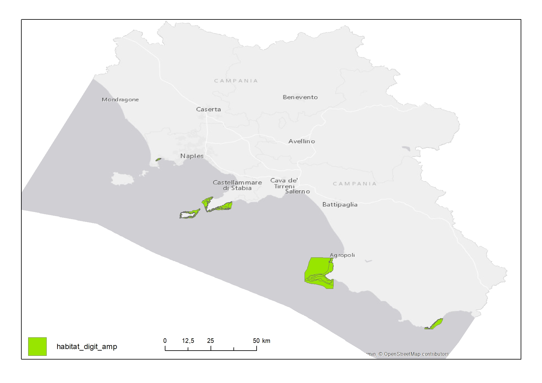
Habitat map of Marine Protected Areas (MPAs) in Campania Region
-
Map showing the position and the zoning of the protected site "Area Marina Protetta Parco Sommerso di Gaiola" in the Campania region
-
Map showing the position and the zoning of the protected site "Area Marina Protetta Santa Maria di Castellabate" in the Campania region
-
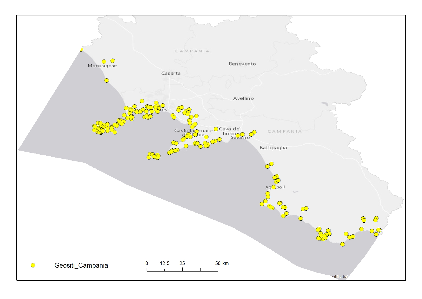
Geosites digitized from "Carta dei Geositi della Campania"
-
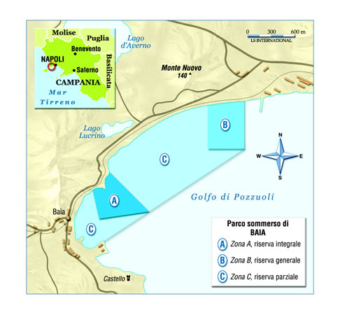
Map showing the position and the zoning of the protected site "Parco Archeologico Sommerso di Baia" in the Campania region
-
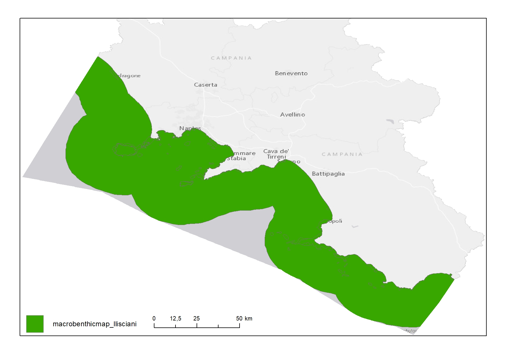
Distribution of benthic macro-habitats in Campania Region
-
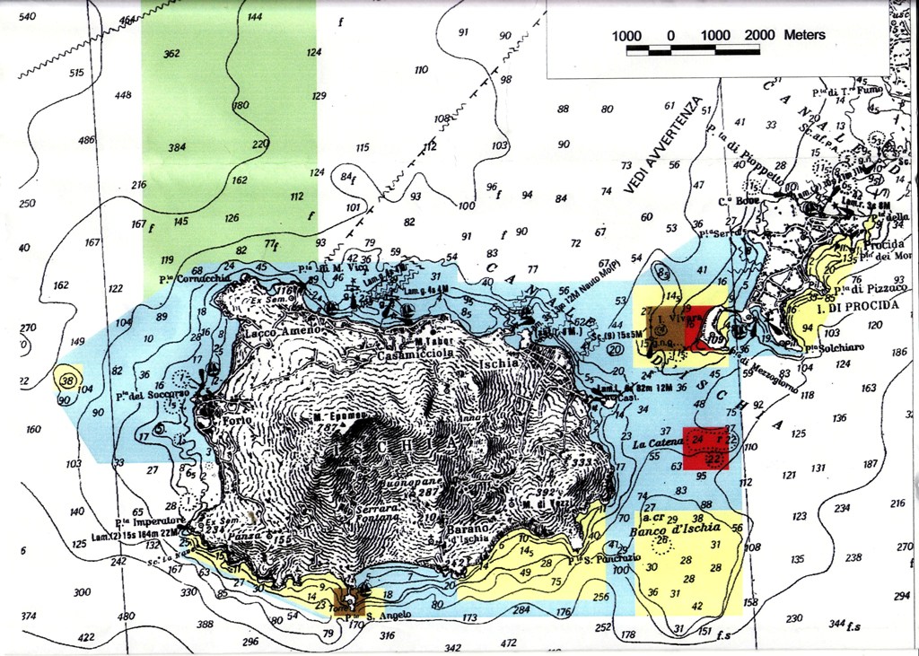
Map showing the position and the zoning of the protected site "Area Marina Protetta Regno di Nettuno" in the Campania region
 FEAMP GeoNetwork catalogue