morphology
Type of resources
Topics
INSPIRE themes
Keywords
Contact for the resource
Provided by
Years
Formats
Representation types
Update frequencies
status
Scale
-

Slope of the seafloor in the Campania Region
-

High resolution morphobathymetry acquired and processed by CNR-ISMAR in the framework of different project from 1997 to 2014
-

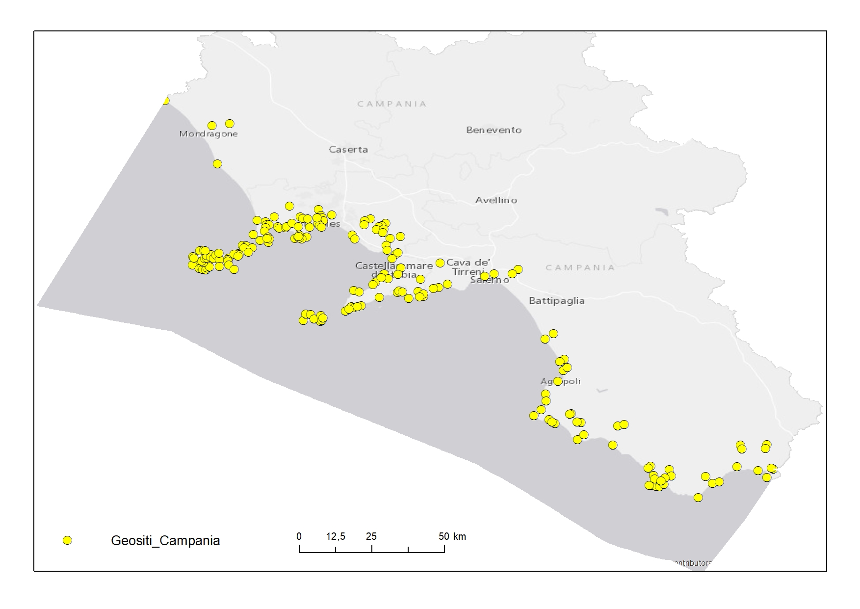
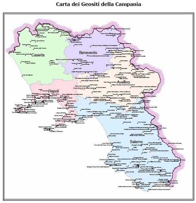
Geosites digitized from "Carta dei Geositi della Campania"
-

The map of geosites identifies the places where important evidence of the history of the geological evolution of the Campania Region is preserved, and being elements of landscape, scientific and cultural value, they will be suitably inserted in a landscape planning context as points or nodes of the ecological network, which representative aspects of regional geodiversity.
-

Bathymetry of the Campania Region
-

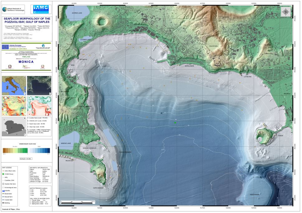
Carta della morfologia del fondale della Baia di Pozzuoli pubblicata su Journal of maps Volume 12, 2016 - Issue 2
-

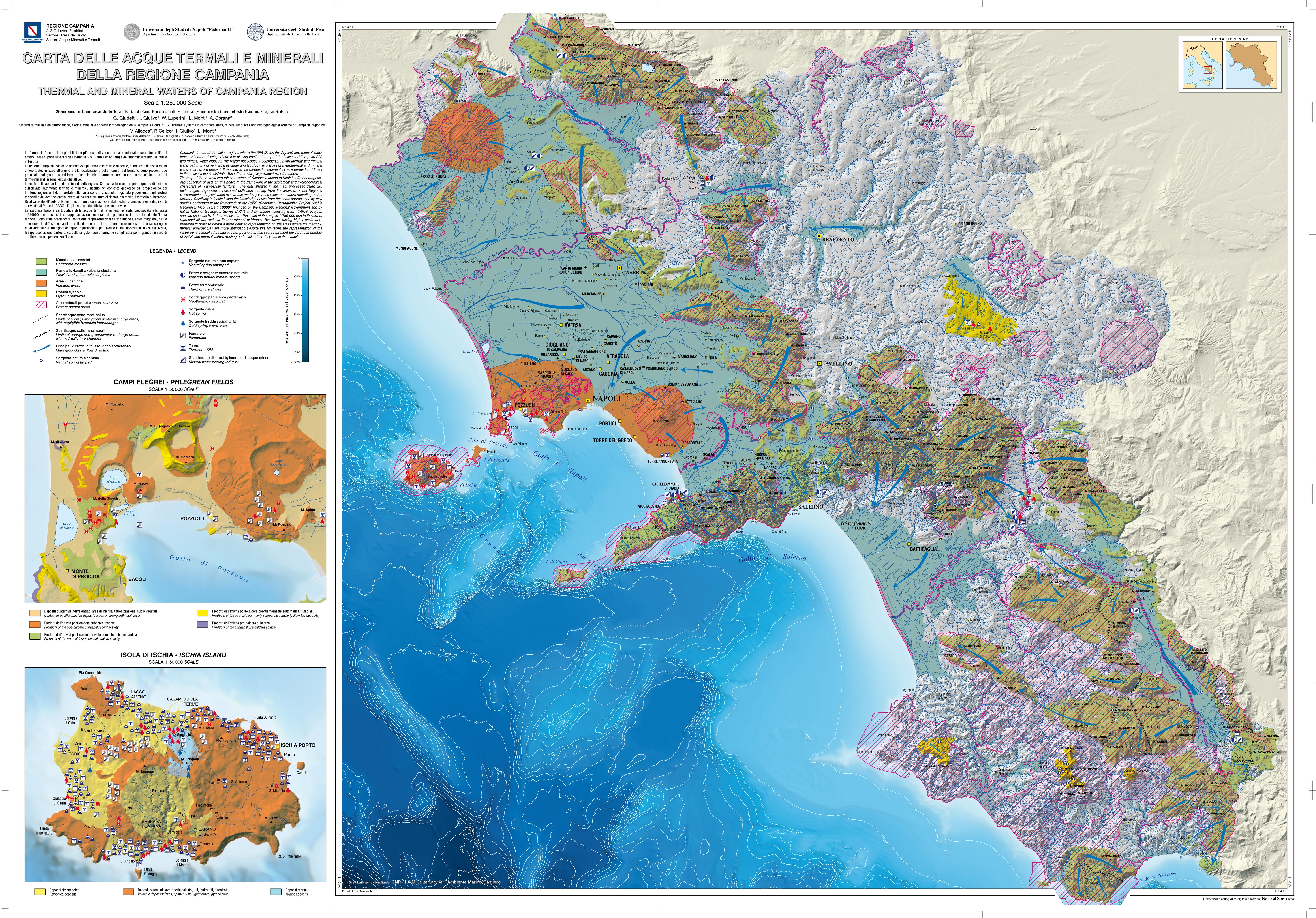
This cartography provides a first overview on a scale of 1: 250,000, of the thermal and mineral heritage of Campania inserted in the geological and hydrogeological context of the area. The data reported on the map derive from a collection of hydrogeological, geochemical and geo-structural information from regional archives, scientific works and specific studies carried out in the context of geological sheets (CARG Project).
-

Geosites digitized from "Carta delle acque minerali e termali della Regione Campania"
-

Elementi della carta "Morfologia del fondale della Baia di Pozzuoli, Golfo di Napoli" digitalizzati
 FEAMP GeoNetwork catalogue