inlandWaters
Type of resources
Available actions
Topics
INSPIRE themes
Keywords
Contact for the resource
Provided by
Years
Formats
Representation types
Update frequencies
status
Scale
-
Ecrins is acronym for European catchments and Rivers network system. It is a geographical information system of the European hydrographical systems with a full topological information. Ecrins is a composite system made from the CCM developed by the JRC, Corine land Cover, WFD reporting elements, etc. It is organised from a layer of 181,071 “functional elementary catchments (FECs)” which average size is ~62 km2, fully connected with explicit identifier (ID) relationships and upstream area. Catchments are grouped as sub-basins, river basin districts (actual and functional to meet hydrographical continuity). The catchments are as well organised according to their sea shore of emptying to meet Marine Strategy delineations. Catchments are drained by 1,348,163 river segments, sorted as “main drains” (connecting together the FECs) and secondary drains (internal to a FEC). river segments mimic the natural drainage, however fulfilling the topological constraint of “0,1 or 2 upstreams, single or 0 downstream”. Each segment is populated with distance to the sea, to ease further processing. They are connected to elementary catchments and nodes documented with altitude. Segments are as well documented with a “dummy river code”, fully populated that earmark each segment with the most distant to the outlet in each drainage basin and, everywhere this has been possible, with a “true river” ID based on river naming. A layer of lakes and dams has been elaborated. Lakes polygons (70,847) are taken from Corine Land cover , WFD Art. 13 and in some cases, from CCM “water layer”. Lakes inlets and outlets are set with the segment ID and where relevant, the dams making the lake is documented. All lakes which depths and volume was found have been updated. Version 1.0 here presented still contain some topological errors (e.g. incorrect segment branching), because inaccurate geometry. They are noted and a correction procedure is underway.
-

Hydrographic network of the Campania Region
-

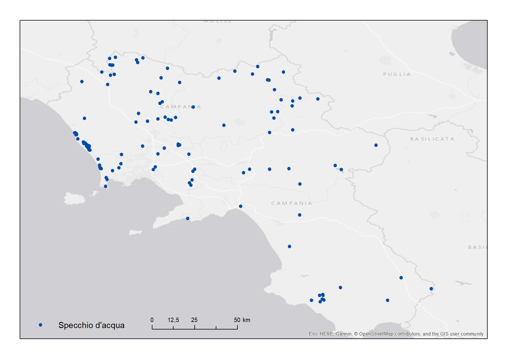
Location of the lakes in the Campania Region
-
Web service by SIT Campania providing layers about: archeology, landscape protection, land use, geology, hydrography and more
 FEAMP GeoNetwork catalogue