planningCadastre
Type of resources
Available actions
Topics
INSPIRE themes
Keywords
Contact for the resource
Provided by
Years
Formats
Representation types
Update frequencies
status
-
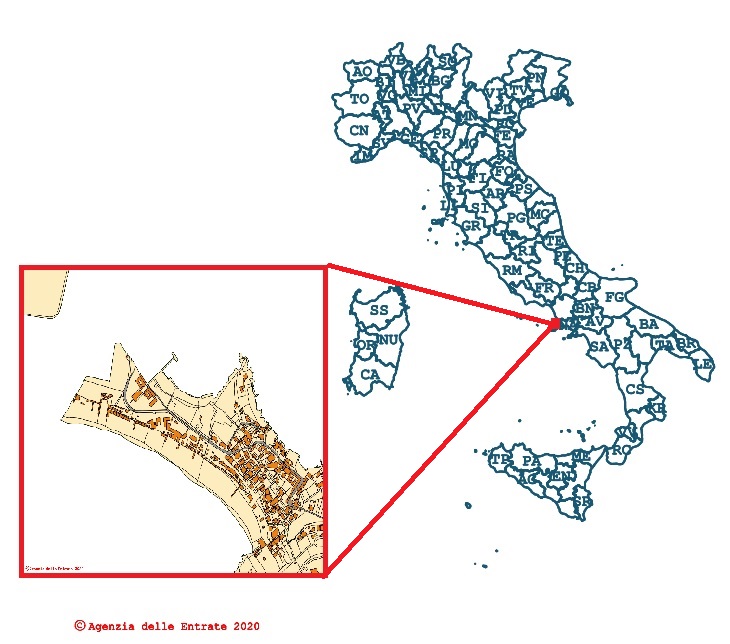
Cadastral cartography consultation - WMS
-
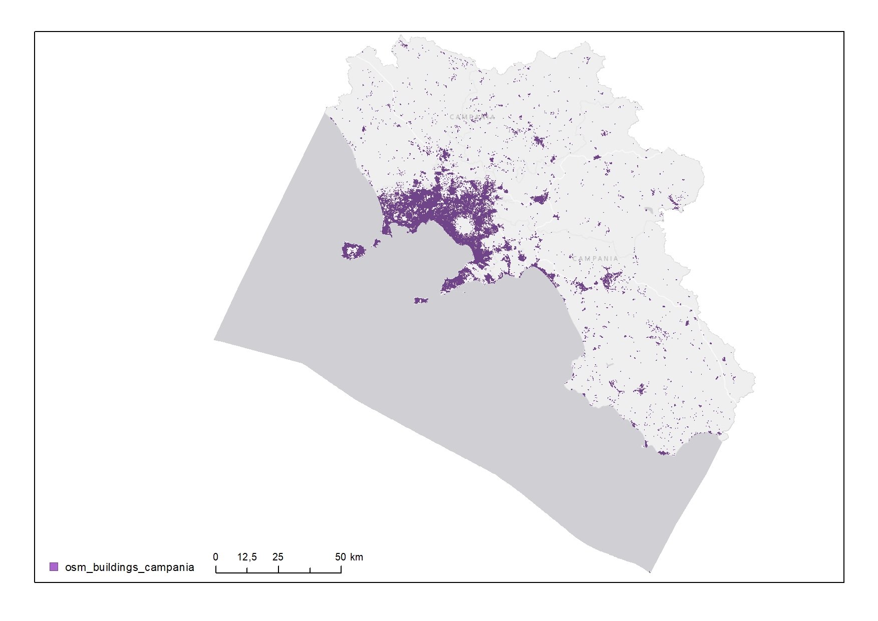
Buildings of the Campania Region
-
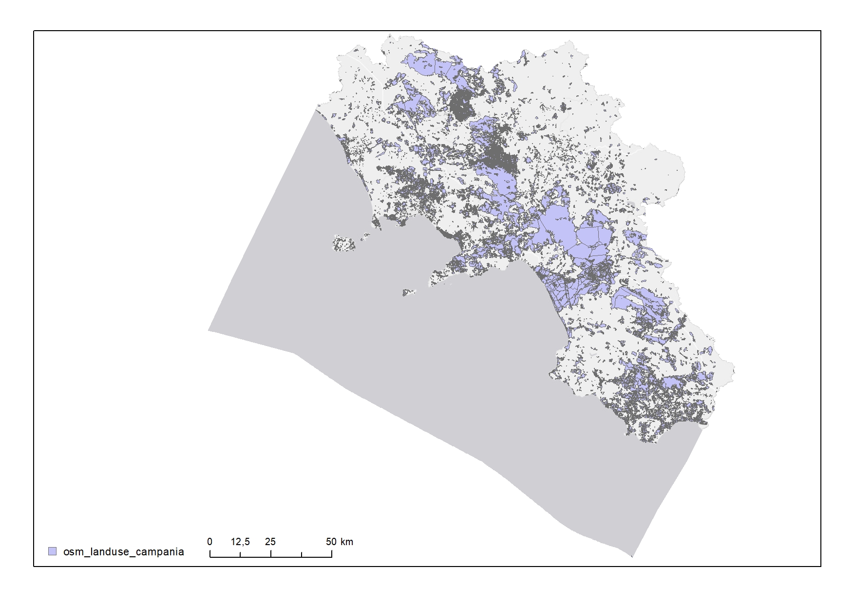
Land use in the Campania Region
-
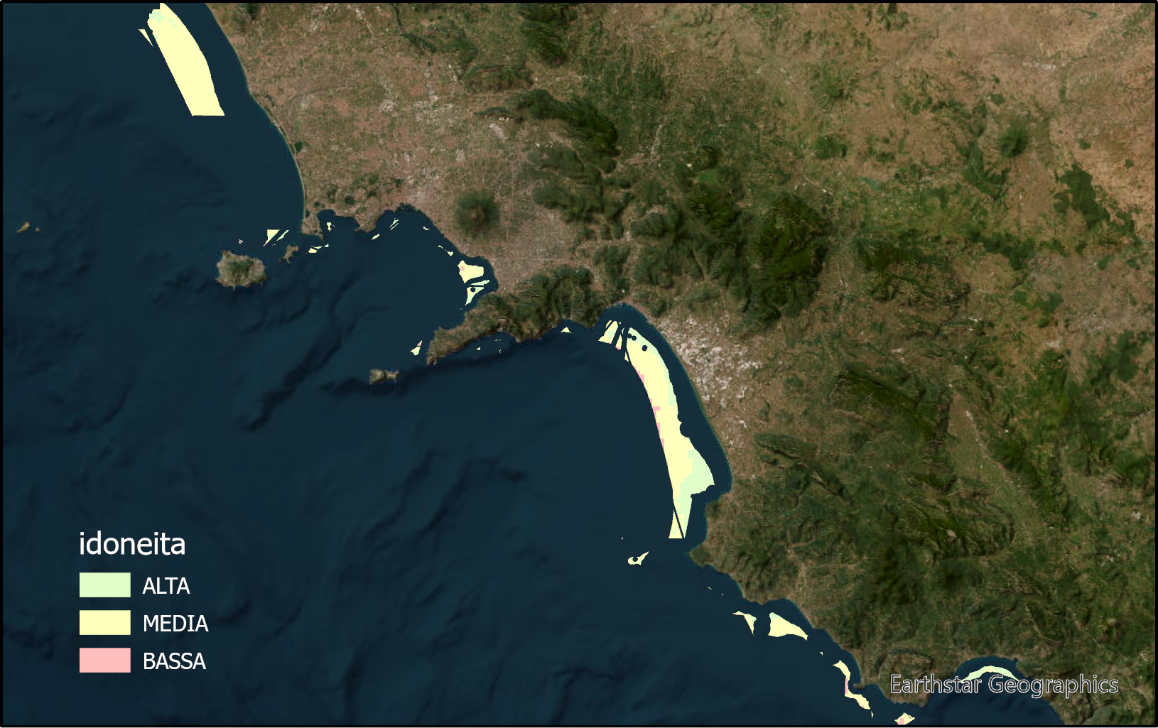
The layer identifies marine zones highly suitable for sea bass and sea breams aquaculture in the Campania region. These zones are between the bathymetric of 25 and 80m. Zones under environmental constraints and for other marine uses are excluded.
-

The layer identifies marine zones highly suitable for shellfish aquaculture in the Campania region. These zones are between the bathymetric of 25 and 80m. Zones under environmental constraints and for other marine uses are excluded.
-

Shapefile of the distribution of the algal cover in the Campania Region
-
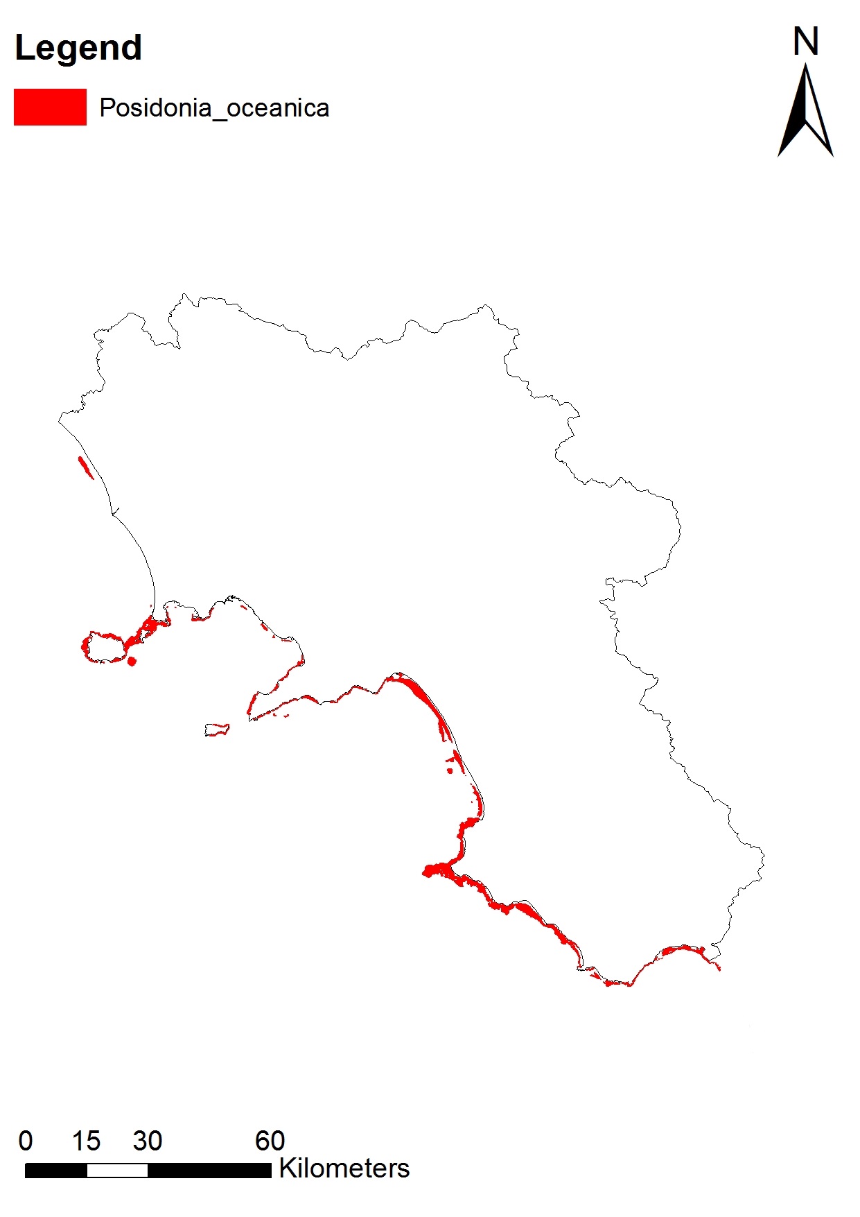
Shapefile of the distribution of Posidonia oceanica of the Campania Region
-

The layer identifies marine zones highly suitable for tuna aquaculture in the Campania region. These zones are between the bathymetric of 25 and 80m. Zones under environmental constraints and for other marine uses are excluded.
-
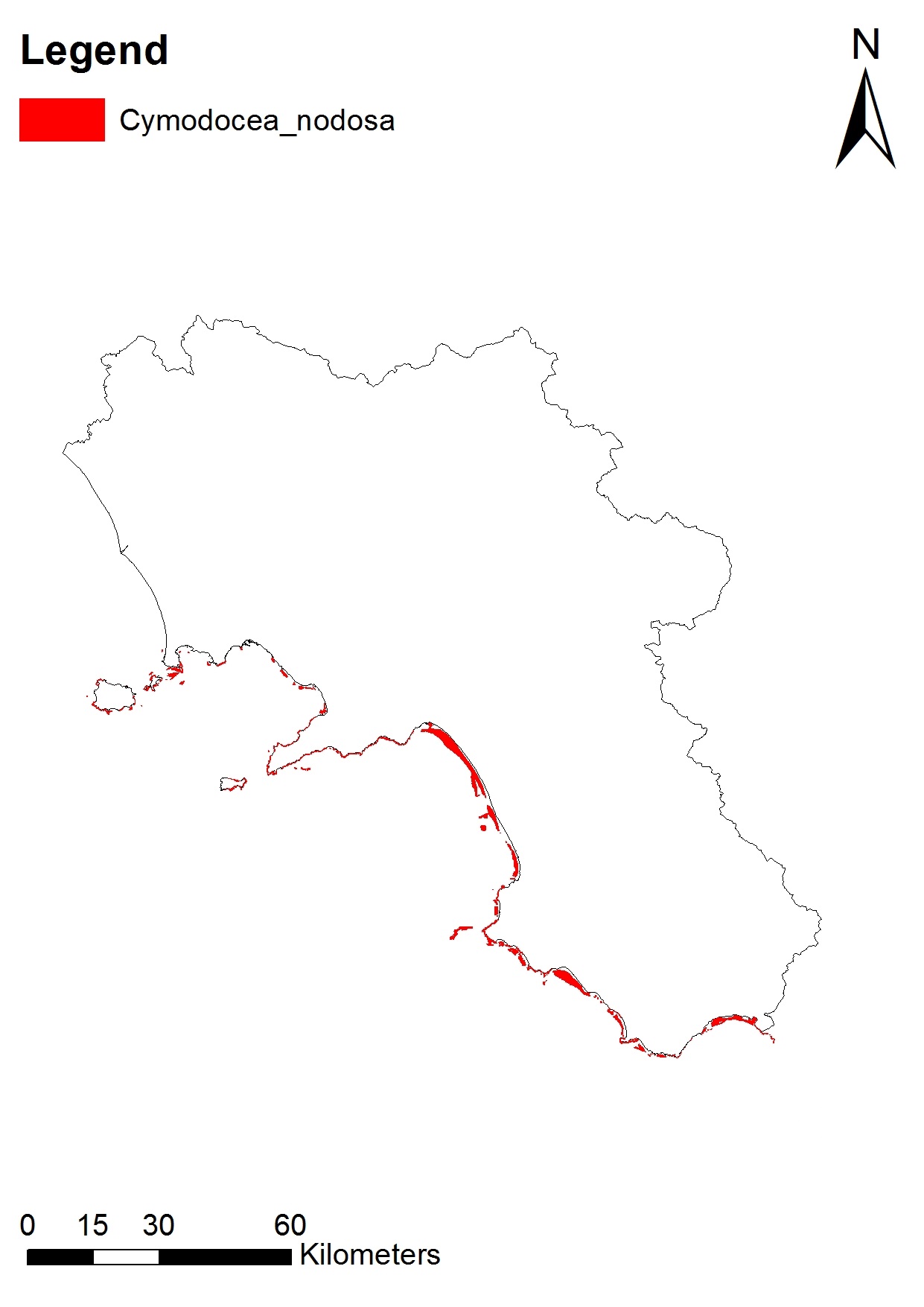
Shapefile of the distribution of Cymodocea nodosa in the Campania Region
-

Shapefile of the geomorphology in the Campania Region
 FEAMP GeoNetwork catalogue