shapefile
Type of resources
Topics
INSPIRE themes
Keywords
Contact for the resource
Provided by
Years
Formats
Representation types
Update frequencies
status
-

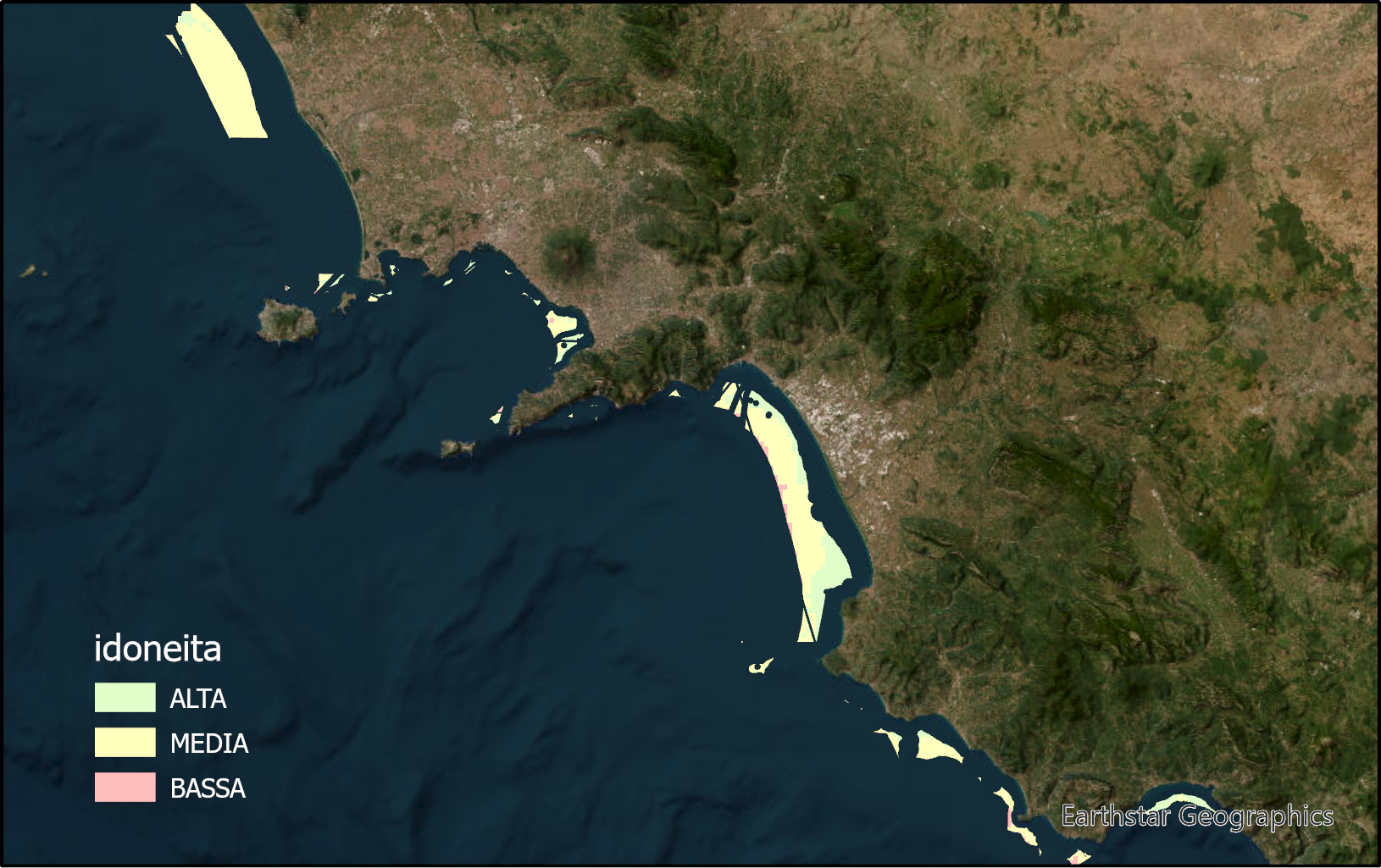
The layer identifies marine zones highly suitable for sea bass and sea breams aquaculture in the Campania region. These zones are between the bathymetric of 25 and 80m. Zones under environmental constraints and for other marine uses are excluded.
-

The layer identifies marine zones highly suitable for shellfish aquaculture in the Campania region. These zones are between the bathymetric of 25 and 80m. Zones under environmental constraints and for other marine uses are excluded.
-

Provincial limits Campania
-

The layer identifies marine zones highly suitable for tuna aquaculture in the Campania region. These zones are between the bathymetric of 25 and 80m. Zones under environmental constraints and for other marine uses are excluded.
-
The shapefile contains the priority habitats of the Campania Region (inside 24 NM) produced in the framework of the FEAMP-ISSPA Project by CNR-ISMAR. It is the results of a bibliographic review coupled with new data (FEAMP-ISSPA) and recovered geophysics data collected by CNR-ISMAR through the years. The shapefile includes coralligenous, maerl, Posidonia oceanica, Cymodocea nodosa, photophilic algae, bioconstructions, and cold-water corals.
-
The shapefile contains the marine substrates of the Campania Region (inside 24 NM) produced in the framework of the FEAMP-ISSPA Project by CNR-ISMAR starting from the CARG cartography and the EUSeaMap from EMONnet.
-

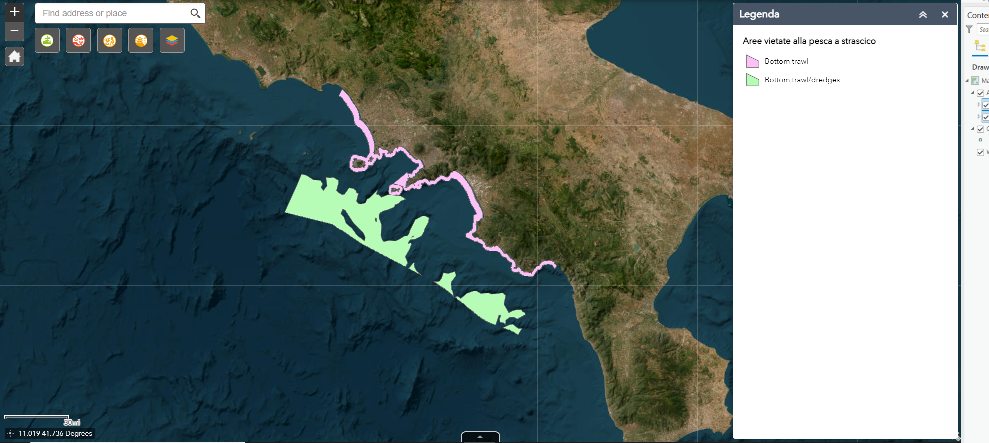
Fishing prohibited areas for their proximity to the coast (< 1.5 nautical miles) or for excessive depth (> 1000 meters)
 FEAMP GeoNetwork catalogue