pesca
Type of resources
Topics
INSPIRE themes
Keywords
Contact for the resource
Provided by
Years
Formats
Representation types
Update frequencies
status
-

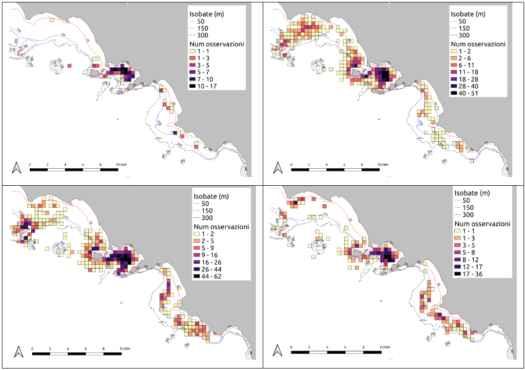
Purse seiners fishing areas obtained from logbook data and interview
-

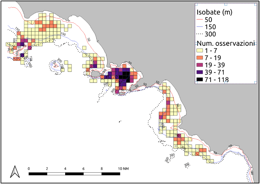
Anchovy fishing areas obtained from logbook data and interview
-

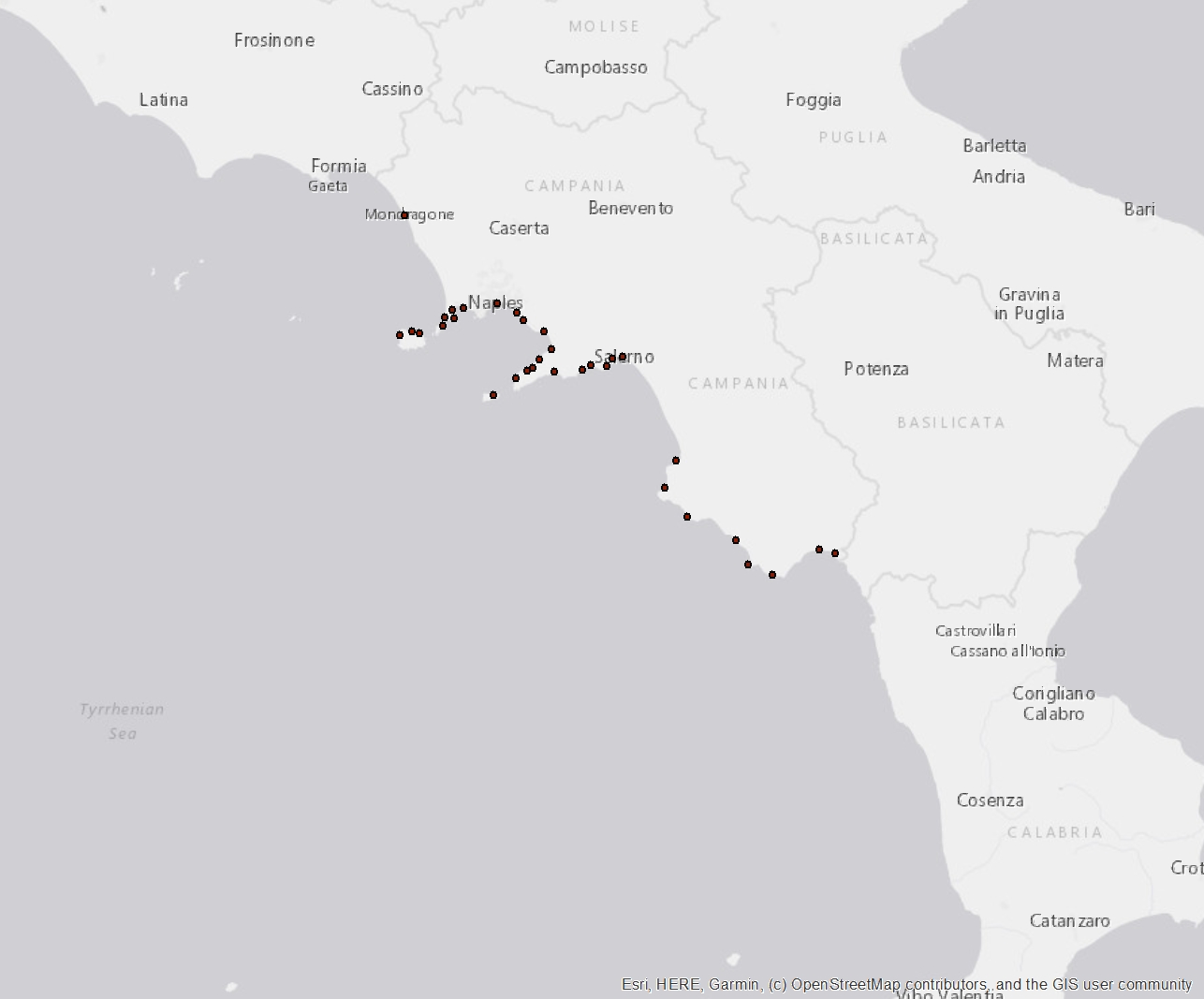
The “Camp_fleet_gears” dataset provides information on the fishing fleet of the Campania region. The dataset is constituted by georeferenced data about the fishing vessels that are present in the region according to their registration place, in .shp format. The “Fleet Register” dataset from the European Commission lists each fishing vessel registered in an EU’s country, including information on their identification codes, registration place, length, tonnage, engine power and gear types used. The “Fleet Register” was downloaded at https://webgate.ec.europa.eu/fleet-europa/index_en. The whole “Fleet Register” was subset to keep only the data on vessels registered in Campania. Among all columns of the original dataset, exclusively the ones of interest were retained. This filtered dataset was then handled by data analysis tools to produce a new dataset according to the need to create spatial georeferenced data organized by localities. The dataset includes the registration places and their spatial coordinates. The other fields include the gear types used. Since the fishing techniques represent an important source of variability in terms of environmental impact, a great precision level was required, and the gear types described at https://ec.europa.eu/eurostat/cache/metadata/en/fish_fleet_esms.htm were considered individually. Both the main and the subsidiary fishing gear type are reported, and the total sum of vessels having a particular gear type on board was calculated. Eg. Among the vessels registered at Naples, 14 declares the GNS (Set (anchored) gillnets) as main gear type, 31 as subsidiary gear type, 45 vessels are equipped with GNS gear types in total. The “Camp_fleet_gears” dataset was handled using ArcGis to produce the final shapefiles: “Camp_fleet_gears.shp”.
 FEAMP GeoNetwork catalogue