Format
Format of the resource (e.g. ascii)
Type of resources
Topics
INSPIRE themes
Keywords
Contact for the resource
Provided by
Years
Formats
Representation types
Update frequencies
status
From
1
-
2
/
2
-

The superficial oxygen concentration (O2) map package was built with monthly-mean data remotely collected. The package contains mean, max, min O2 maps at low resolution (~5km) collected during 2019. The maps were also built over the four quarters of the year. These layers are provided with the suffixes Q1 to Q4.
-

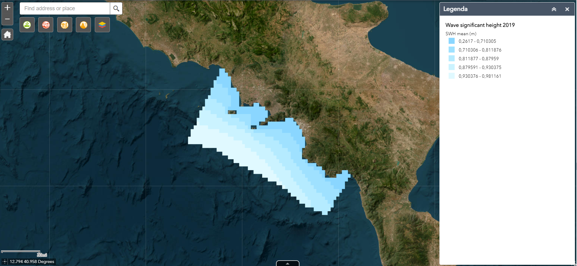
The wave significant height (VHM0) map package was built with daily-mean data remotely collected. The package contains mean, max, min VHM0 maps at low resolution (~5km) collected during 2019. The maps were also built over the four quarters of the year. These layers are provided with the suffixes Q1 to Q4.
 FEAMP GeoNetwork catalogue