Transport networks
Type of resources
Available actions
Topics
INSPIRE themes
Keywords
Contact for the resource
Provided by
Years
Formats
Representation types
Update frequencies
status
Scale
-

Railways of the Campania Region
-

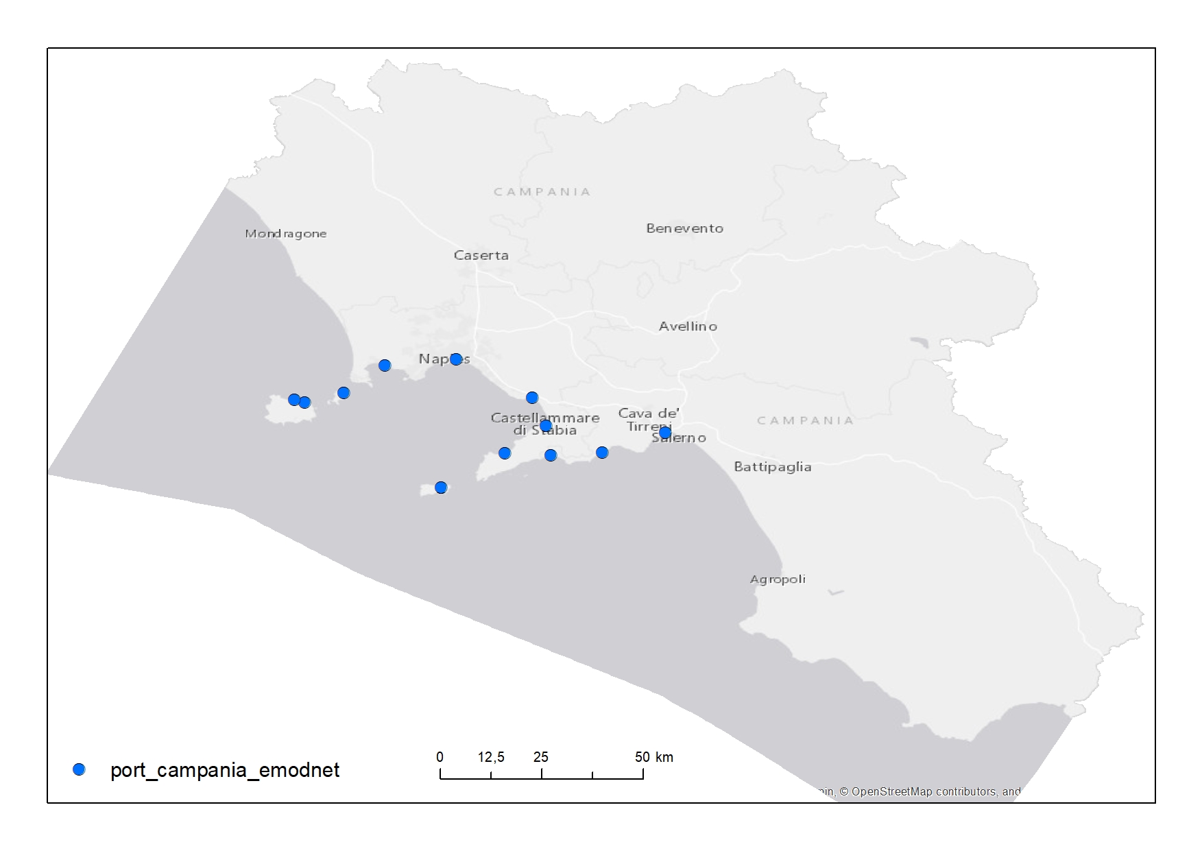
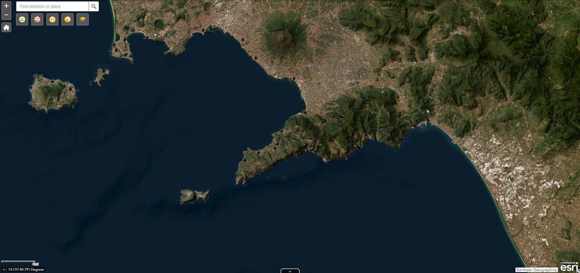
Position of the main ports in the Campania Region
-

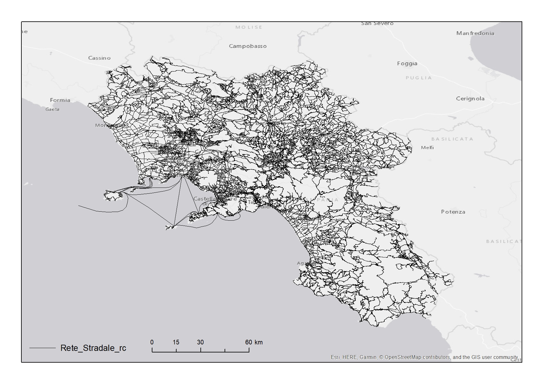
Road network of the Campania Region
-

Campania fishing fleet per port. Data were retrieved from the European fleet register and divided in classes of ages, power, gross tonnage and main fishing gear.
-

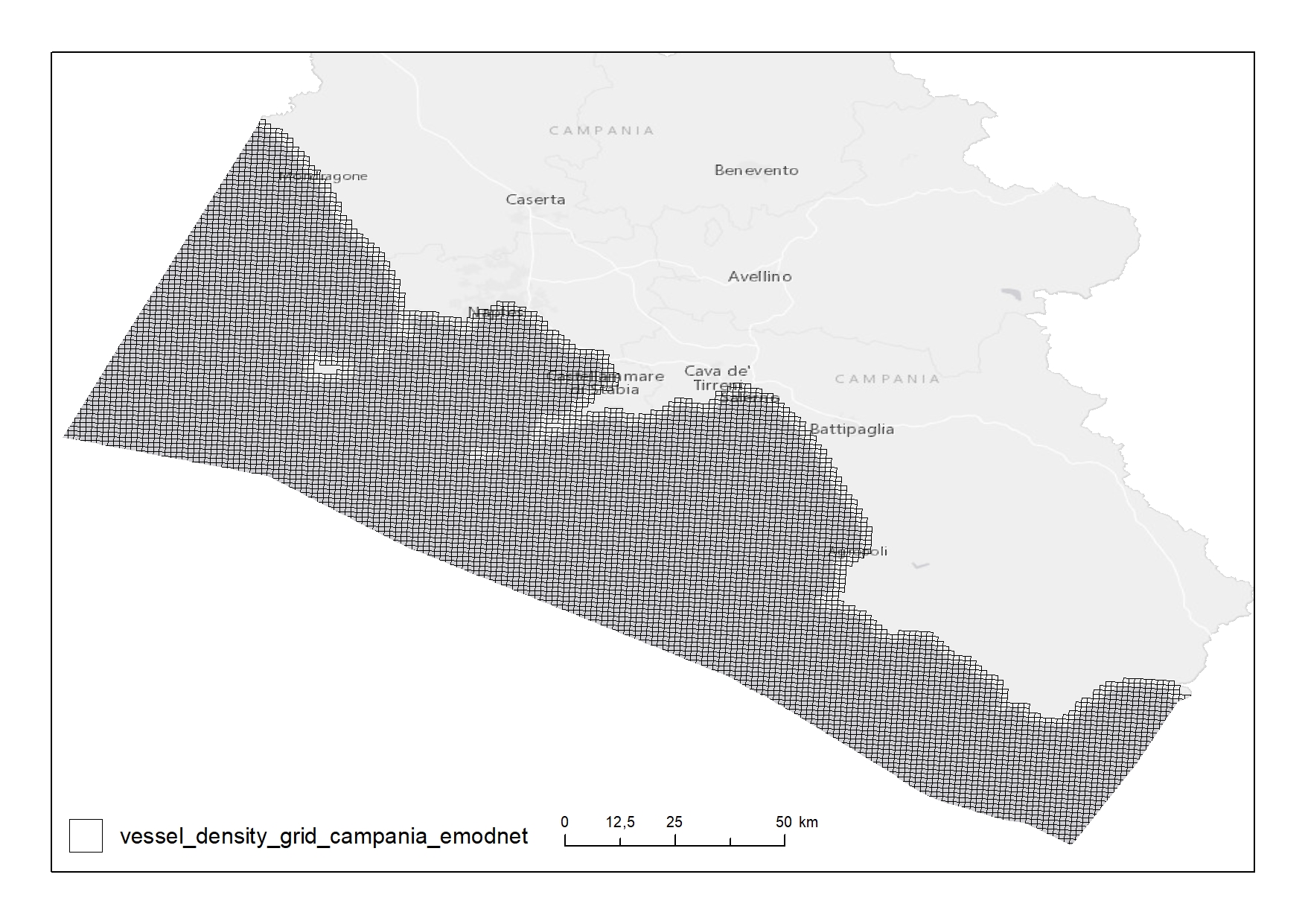
Shipping density from AIS data 2018 in 1km*1km cells of a grid covering the Campania Region. The following ship types are available:0 Other, 1 Fishing, 2 Service, 3 Dredging or underwater ops, 4 Sailing, 5 Pleasure Craft, 6 High speed craft, 7 Tug and towing, 8 Passenger, 9 Cargo, 10 Tanker, 11 Military and Law Enforcement, 12 Unknown and All ship types. Data are available by month of year. Yearly averages are also available.
-

Centroids of the Corine Land Cover of the Campania Region for the years 2018
-
Web service by SIT Campania providing layers about: archeology, landscape protection, land use, geology, hydrography and more
-

Elements digitalized from nautical chart (e.g pipelines, submarine cables, aquaculture sites
 FEAMP GeoNetwork catalogue