National Research Council
Type of resources
Available actions
Topics
INSPIRE themes
Keywords
Contact for the resource
Provided by
Years
Formats
Representation types
Update frequencies
status
Scale
-

Contiguous zone (24 NM), territorial sea (12 NM) and internal water offshore the Campania Region
-
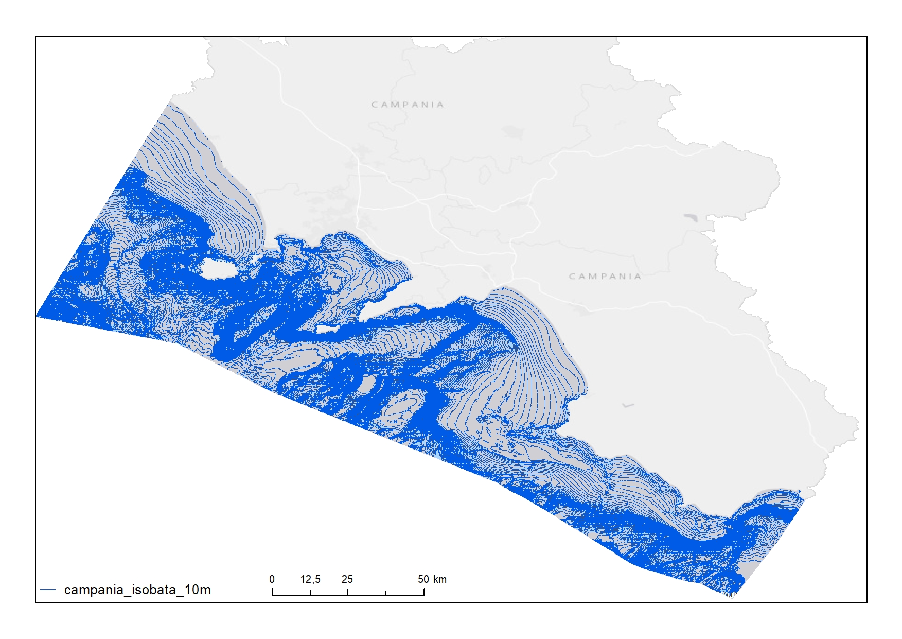
Isobaths produced every 10 m for the 12 NM of the Campania Region
-
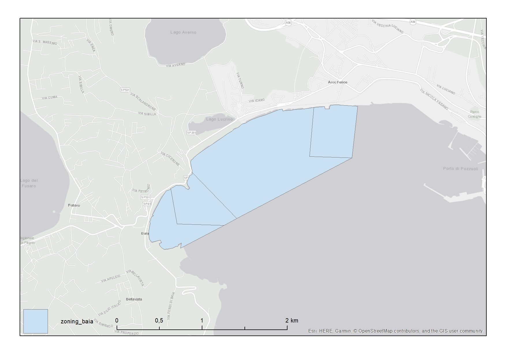
Zoning of the Marine Protected Area named Parco Sommerso Di Baia located in Campania Region
-

The Underwater Coastal Environment Monitoring Protocol is a Citizen Science initiative aimed to assess the ecological status of the Mediterranean marine coastal habitats. SCUBA divers and snorkelers contribute with their surveys. The web service provides information about the surveys, the environments, the habitats and, the species,
-

Zoning of the Marine Protected Area named Costa Degli Infreschi E Della Masseta located in Campania Region
-
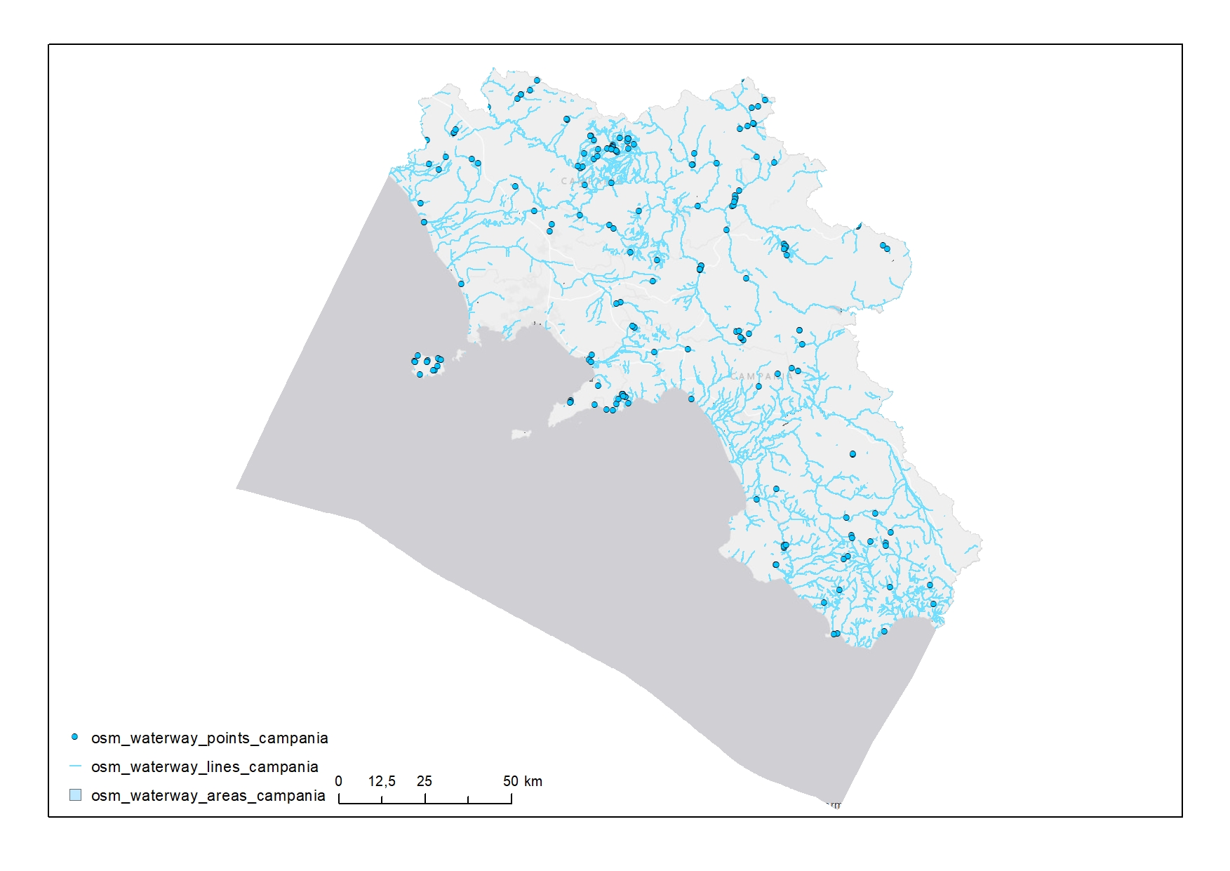
Waterways in Campania
-
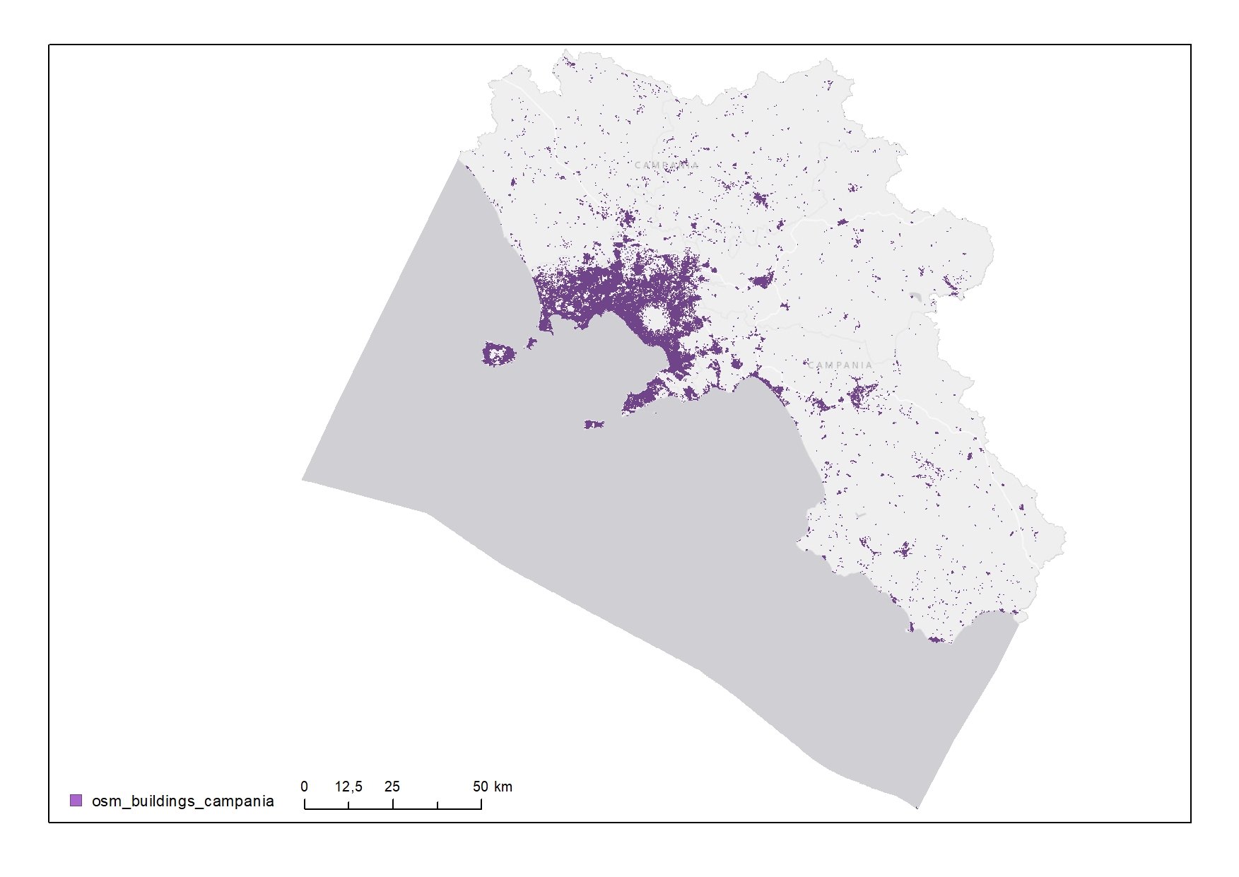
Buildings of the Campania Region
-
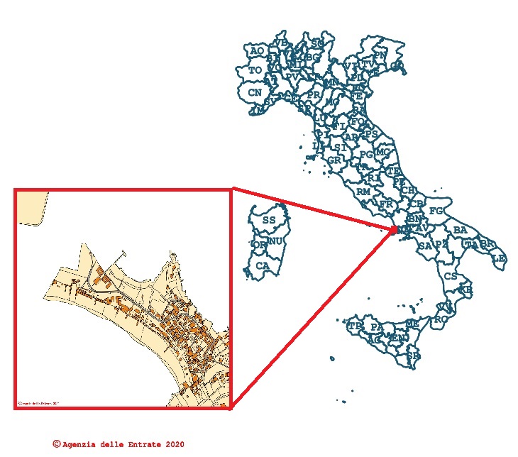
Cadastral cartography consultation - WMS
-
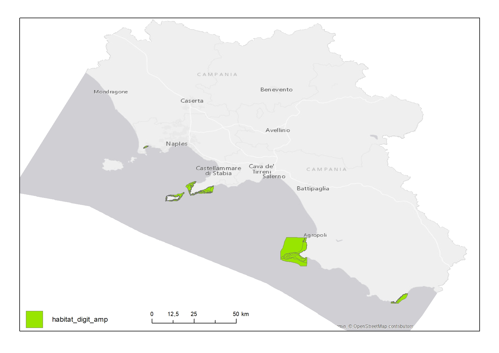
Habitat map of Marine Protected Areas (MPAs) in Campania Region
-

Points representing dredging sites in the Campania Region
 FEAMP GeoNetwork catalogue